Home
Images
Vectors
Videos
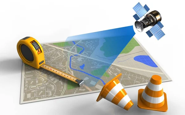
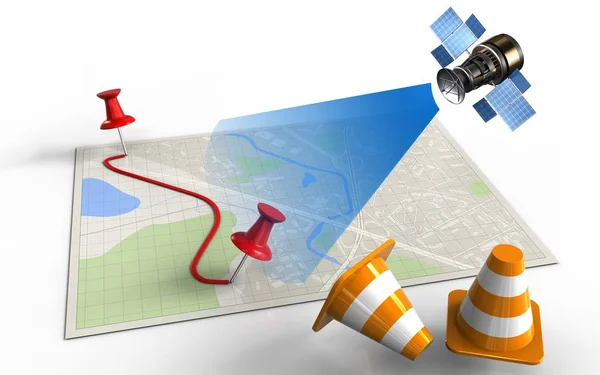
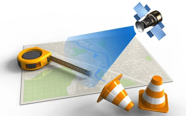
Stock image map with measure tool and satellite
Published:
Aug.30, 2017 09:54:39
Author:
mmaxer
Views:
1
Downloads:
0
File type:
image
/
jpg
File size:
1.46 MB
Orginal size:
5000
x
3125
px
Available sizes:
S
(500 x 313)
M
(1000 x 625)
L
(2000 x 1250)
XL
(5000 x 3125)
EL0
(5000 x 3125)
Level:
silver
Download Image
Image topics:
Blue
Graphic
Illustration
Paper
Space
Bright
Orange
Light
Dish
Technology
3d
City
Construction
Communication
Wireless
Global
Panel
Measure
Tool
Cone
Scale
Radio
Street
Closed
Laying
Grid
Science
Ray
Navigation
Repair
System
Length
Map
Cartography
Plan
Kilometers
Orbit
Signal
Satellite
Miles
Gps
Roadmap
Similar stock images
Illustration Of Map With Ruler
5000 × 3125
Map With Measure Tool And Satellite
5000 × 3125
Illustration Of Bright Map
5000 × 3125
Illustration Of Bright Map
5000 × 3125
Illustration Of Bright Map
5000 × 3125
Illustration Of Bright Map
5000 × 3125
Map With Protractor And Satellite
5000 × 3125
Illustration Of Map Paper
5000 × 3125