Home
Images
Vectors
Videos
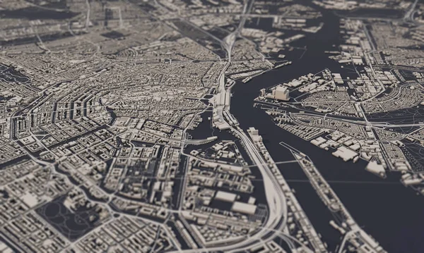
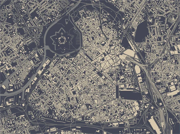
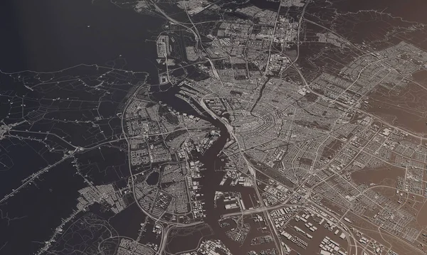
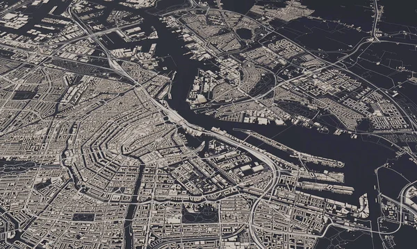
Stock image Rome 3d map. 3d illustration
Published:
Dec.21, 2019 17:59:12
Author:
Shlapak
Views:
7
Downloads:
1
File type:
image
/
jpg
File size:
34.46 MB
Orginal size:
10000
x
5625
px
Available sizes:
S
(500 x 281)
M
(1000 x 563)
L
(2000 x 1125)
XL
(10000 x 5625)
EL0
(10000 x 5625)
Level:
beginner
Download Image
Image topics:
Background
View
Graphic
Illustration
Design
Travel
Abstract
Pattern
Road
Gray
River
Concept
Architecture
Construction
Urban
Information
Street
Italy
Town
Navigation
District
Cartography
Geography
Plan
Buildings
Topography
Location
Place
Rome
Satellite
Gps
3d Illustration
City Map
3d Map
City 3d
Similar stock images
Rome, Italy City Map 3D Rendering. Aerial Satellite View.
5000 × 3000
Amsterdam, Netherlands City Map 3D Rendering. Aerial Satellite View.
5000 × 3000
Map Of The City Of Lille, Nord, Hauts-de-France, France
5032 × 3752
Amsterdam, Netherlands City Map 3D Rendering. Aerial Satellite View.
4818 × 2891
Amsterdam, Netherlands City Map 3D Rendering. Aerial Satellite View.
5000 × 3000
Frankfurt Am Main 3d Map. 3d Illustration
10000 × 5625
Rome 3d Map. 3d Illustration
10000 × 5625