Home
Images
Vectors
Videos
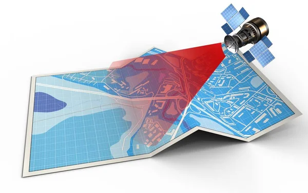
Stock image 3d illustration of city map with satellite isolated on white background
Published:
May.29, 2018 07:26:55
Author:
mmaxer
Views:
33
Downloads:
2
File type:
image
/
jpg
File size:
1.69 MB
Orginal size:
5000
x
3125
px
Available sizes:
S
(500 x 313)
M
(1000 x 625)
L
(2000 x 1250)
XL
(5000 x 3125)
EL0
(5000 x 3125)
Level:
silver
Download Image
Image topics:
Red
Graphic
Illustration
Paper
Space
Dish
Technology
3d
City
Communication
Wireless
Global
Panel
Radio
Street
Science
Ray
Navigation
System
Map
Cartography
Plan
Orbit
Signal
Folding
Bend
Satellite
Folded
Gps
Roadmap
Similar stock images
Satellite Navigation And Folded Map
5000 × 3750
Illustration Of City Map
5000 × 3125
Illustration Of City Map
5000 × 3125
Map With Protractor And Satellite
5000 × 3125
Illustration Of Blue Map
5000 × 3125
Engineering Abstract Shape, 3d Vector Polygonal Figure.
5000 × 5000
Global Communication Technology Satellite Flying In The Cloudy Sky And Reflecting Earth In Solar Panels. Thin Line 3d Vector Illustration Isolated On White.
4690 × 4500
Truss Girder Element
5000 × 5000