photo free
Home Images Vectors Videos

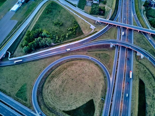
Stock image A beautiful panoramic aerial drone view of the sunset on the highway overpass of the southern Warsaw bypass (Polish: POW), Michalowice district in Warsaw, Opacz Kolonia, Poland
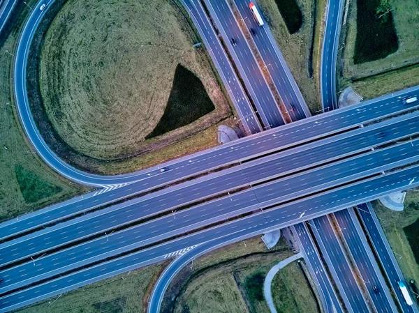
Stock image A beautiful panoramic aerial drone view of the sunset on the highway overpass of the southern Warsaw bypass (Polish: POW), Michalowice district in Warsaw, Opacz Kolonia, Poland
Published: Jun.05, 2020 07:04:48
Author: UDMURD
Views: 0
Downloads: 0
File type: image / jpg
File size: 4.83 MB
Orginal size: 3982 x 2983 px
Available sizes:
S
(500 x 375)
M
(1000 x 749)
L
(2000 x 1498)
XL
(3982 x 2983)
EL0
(3982 x 2983)
Level: bronze
Download Image
Image topics:

Similar stock images

stock image A beautiful panoramic aerial drone view of the sunset on the highway overpass of the southern Warsaw bypass (Polish: POW), Michalowice district in Warsaw, Opacz Kolonia, Poland

A Beautiful Panoramic Aerial Drone View Of The Sunset On The Highway Overpass Of The Southern Warsaw Bypass (Polish: POW), Michalowice District In Warsaw, Opacz Kolonia, Poland

3982 × 2983
stock image Aerial view of highway in city. Cars crossing interchange overpass. Highway interchange with traffic. Aerial bird's eye photo of highway. Expressway. Road junctions. Car passing. Top view from above.

Aerial View Of Highway In City. Cars Crossing Interchange Overpass. Highway Interchange With Traffic. Aerial Bird's Eye Photo Of Highway. Expressway. Road Junctions. Car Passing. Top View From Above.

4856 × 3640
stock image Aerial landscape of busy highway junction road, Transport concept

Aerial Landscape Of Busy Highway Junction Road, Transport Concept

4445 × 3070
stock image A beautiful panoramic aerial drone view of the sunset on the highway overpass of the southern Warsaw bypass (Polish: POW), Michalowice district in Warsaw, Opacz Kolonia, Poland

A Beautiful Panoramic Aerial Drone View Of The Sunset On The Highway Overpass Of The Southern Warsaw Bypass (Polish: POW), Michalowice District In Warsaw, Opacz Kolonia, Poland

3982 × 2983
stock image aerial view of bridge with city traffic at daytime

Aerial View Of Bridge With City Traffic At Daytime

5464 × 3640
stock image Aerial photography bird-eye view of City

Aerial Photography Bird-eye View Of City

3992 × 2992
stock image From above, aerial view of a new interchange in the city of Leesburg, Virginia. Modern building design of the roadway to avoid traffic jams. Few cars.

From Above, Aerial View Of A New Interchange In The City Of Leesburg, Virginia. Modern Building Design Of The Roadway To Avoid Traffic Jams. Few Cars.

4000 × 2250
stock image Aerial view city transport road with vehicle express way

Aerial View City Transport Road With Vehicle Express Way

4048 × 3032