photo free
Home Images Vectors Videos

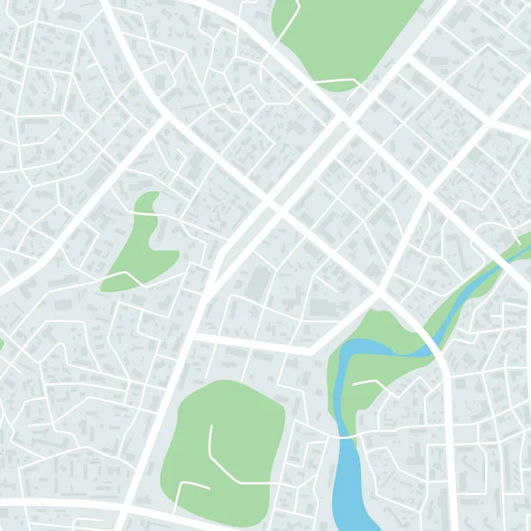
Stock image A generic city map illustration

Stock image A generic city map illustration
Published: May.07, 2021 11:28:59
Author: Zerbor
Views: 2
Downloads: 2
File type: image / jpg
File size: 5.39 MB
Orginal size: 9000 x 3895 px
Available sizes:
S
(500 x 216)
M
(1000 x 433)
L
(2000 x 866)
XL
(9000 x 3895)
EL0
(9000 x 3895)
Level: silver
Download Image
Image topics:

Similar stock images

stock vector Map city. Graphic plan town with streets, river, bridges, green parks, buildings and roads. Urban background with location, navigation for gps, travels and guides. Aerial pattern cartography. Vector.

Map City. Graphic Plan Town With Streets, River, Bridges, Green Parks, Buildings And Roads. Urban Background With Location, Navigation For Gps, Travels And Guides. Aerial Pattern Cartography. Vector.

4000 × 6800
stock vector Laval, France printable map

Laval, France Printable Map

5376 × 5376
stock vector Aerial clean top view of the city map with street and river, Blank urban imagination map, GPS map navigator concept, vector illustration

Aerial Clean Top View Of The City Map With Street And River, Blank Urban Imagination Map, GPS Map Navigator Concept, Vector Illustration

7250 × 4833
stock vector Albi, France printable map

Albi, France Printable Map

5376 × 5376
stock vector City map abstract seamless pattern - Illustration

City Map Abstract Seamless Pattern - Illustration

5900 × 5900
stock vector Aerial clean top view of the night time city map with street and river, Blank urban imagination map, GPS map navigator concept, vector illustration

Aerial Clean Top View Of The Night Time City Map With Street And River, Blank Urban Imagination Map, GPS Map Navigator Concept, Vector Illustration

7250 × 4833
stock vector Abstract city map. Town district plan. City center scheme. Vector illustration

Abstract City Map. Town District Plan. City Center Scheme. Vector Illustration

5000 × 5000
stock vector Nancy, France printable map

Nancy, France Printable Map

5376 × 5376