Home
Images
Vectors
Videos
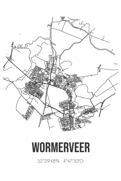
Stock image Abstract street map of Bornwird located in Fryslan municipality of Noardeast-Fryslan. City map with lines
Published:
Sep.28, 2022 10:48:53
Author:
stefantp
Views:
2
Downloads:
0
File type:
image
/
jpg
File size:
1.33 MB
Orginal size:
4724
x
7086
px
Available sizes:
S
(333 x 500)
M
(667 x 1000)
L
(1333 x 2000)
XL
(4724 x 7086)
EL0
(4724 x 7086)
Level:
beginner
Download Image
Image topics:
White
Graphic
Illustration
Design
Travel
Transportation
Pattern
Black
Line
Road
City
Urban
Lines
Drawing
Information
Street
Town
Europe
Sketch
Navigation
Outline
Map
Cartography
Geography
Plan
Metropolis
Highways
Topography
Location
Streets
Roadmap
Coordinates
Geographical
Street Map
Fryslan
Black Line
Minor Roads
Bornwird
Noardeast Fryslân
Similar stock images
Retro Dutch City Map Of Bornwird Located In Fryslan. Vintage Street Map.
4724 × 7086
Abstract Street Map Of Burgwerd Located In Fryslan Municipality Of Sudwest-Fryslan. City Map With Lines
4724 × 7086
Abstract Street Map Of Cornwerd Located In Fryslan Municipality Of Sudwest-Fryslan. City Map With Lines
4724 × 7086
Abstract Street Map Of Zuid-Scharwoude Located In Noord-Holland Municipality Of Langedijk. City Map With Lines
4724 × 7086
Abstract Street Map Of Ravenswoud Located In Fryslan Municipality Of Ooststellingwerf. City Map With Lines
4724 × 7086
Abstract Street Map Of Noordwolde Located In Groningen Municipality Of Het Hogeland. City Map With Lines
4724 × 7086
Abstract Street Map Of Toornwerd Located In Groningen Municipality Of Loppersum. City Map With Lines
4724 × 7086
Abstract Street Map Of Wormerveer Located In Noord-Holland Municipality Of Zaanstad. City Map With Lines
4724 × 7086