Home
Images
Vectors
Videos
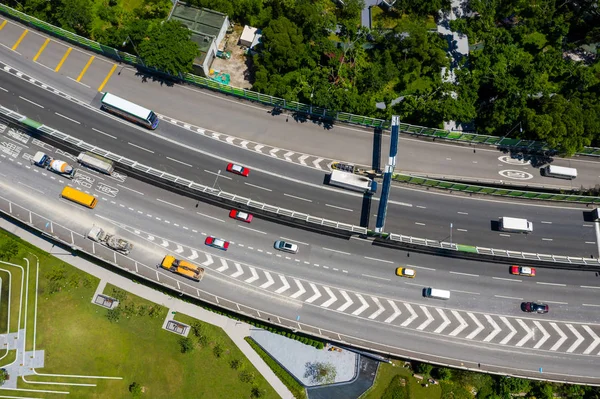
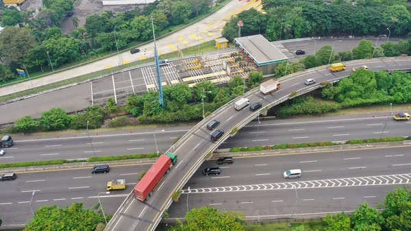
Stock image Aerial drone birds eye view photo of latest technology cross shape multi level road highway passing through city center.
Published:
Aug.15, 2022 11:35:37
Author:
Koop1234
Views:
3
Downloads:
1
File type:
image
/
jpg
File size:
5.95 MB
Orginal size:
5472
x
3078
px
Available sizes:
S
(500 x 281)
M
(1000 x 563)
L
(2000 x 1125)
XL
(5472 x 3078)
EL0
(5472 x 3078)
Level:
beginner
Download Image
Image topics:
Green
Travel
Transport
Vehicle
Transportation
European
Car
Road
Traffic
Modern
Architecture
Building
City
Urban
Cross
Way
Street
Ring
Usa
Movement
Truck
Highway
Cityscape
Skyline
Europe
Top
Infrastructure
Level
Greek
Buildings
Freeway
Above
Jam
Attraction
Motorway
Intersection
Destination
Aerial
Junction
Spaghetti
Expressway
Overpass
Drone
Interchange
Attiki
Multiple Lane Highway
Odos
Quadcopter
Periferiaki
Similar stock images
Aerial Top Down View On Massive Multi-level Interchange On Jakarta City On A Sunny Summer Day With Light Traffic.
5472 × 3078
Aerial Top Down View On Massive Multi-level Interchange On Jakarta City On A Sunny Summer Day With Light Traffic.
5472 × 3078
Top View Of Hong Kong Traffic
4500 × 2998
Overpass Closeup In Kunming City
5188 × 3456
Top Down View Of The Roundabout
4500 × 2998
Road System. Road Interchanges. Multi-level Highways. The Movement Of Vehicles On Highways In Different Directions. View Of Multi-level Roads From A Height.
5472 × 3078
Busy Traffic On Road Junction In Shanghai
5472 × 3624
Aerial View Of A Freeway Intersection Traffic Trails In Moscow.
3000 × 2249