Home
Images
Vectors
Videos
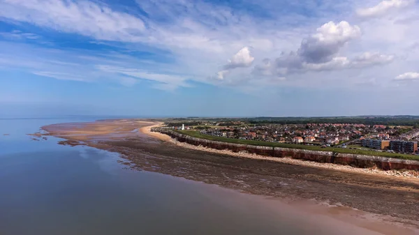
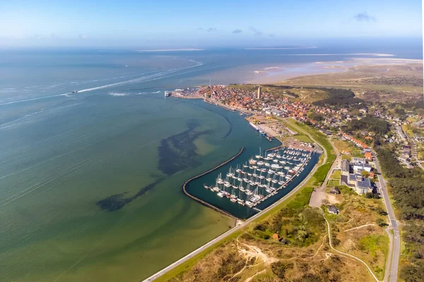
Stock image Aerial drone image of Terschelling and the Wadden sea on a summer day. Low tide shows the sandbanks and shallows of the Wadden sea. Marina and West-Terschelling and dunes visible. High quality photo
Published:
Mar.16, 2023 16:38:14
Author:
thomasroell
Views:
8
Downloads:
3
File type:
image
/
jpg
File size:
5.64 MB
Orginal size:
3958
x
2639
px
Available sizes:
S
(500 x 333)
M
(1000 x 667)
L
(2000 x 1334)
XL
(3958 x 2639)
EL0
(3958 x 2639)
Level:
beginner
Download Image
Image topics:
View
Travel
Summer
Nature
Water
Sea
Heritage
Landscape
Village
Architecture
Building
Tower
Bank
Netherlands
Holland
Beach
Coast
Shore
Tourism
Landmark
Town
Famous
Harbor
Europe
Ship
Outside
Channel
Lighthouse
Island
Dune
Aerial
Ferry
Ebb
Breakwater
Terminal
Dutch
Sandbank
Frisian
Wadden
Friesland
Brandaris
North Sea
Low Tide
Light House
Wadden Sea
Terschelling
Waddenzee
West Terschelling
Waddeneilanden
Similar stock images
Aerial View Of Calais City And Harbor, France
5355 × 3009
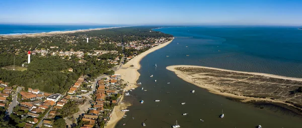
Aerial View, Fishing Village And Mimbeau Beach, Cap Ferret, Arcachon Basin, Lege Cap Feret, Gironde
6117 × 2616
Vertical Aerial Shot Of The Coast At Rodwell Trail, Wyke, Weymouth, Dorset, UK
3687 × 5267
Aerial Panorama Of The Brussa Lagoon, Veneto. Crystal Clear And Emerald Water. Curved And Circular Shapes.
3983 × 2240
An Aerial View Of The Cliffs At Hunstanton In Norfolk, UK
3872 × 2178
Aerial View Taken By A Drone At A Beach And Blue Sea As Seaside From Zeeland In The Netherlands
5464 × 3070