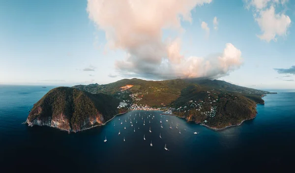
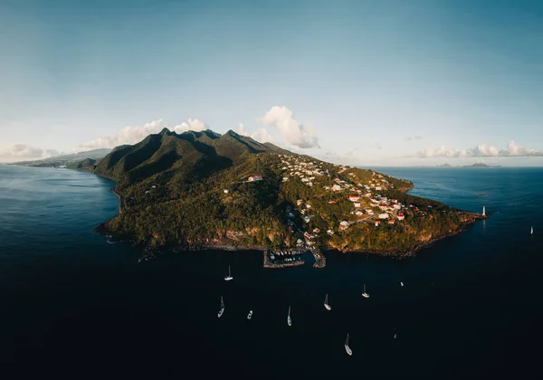
Stock image Aerial drone panorama of Lighthouse at Vieux-Fort, the southernmost point of Guadeloupe, Caribbean Sea.
Published: May.15, 2023 12:50:54
Author: mathias_berlin
Views: 2
Downloads: 0
File type: image / jpg
File size: 23.98 MB
Orginal size: 9638 x 5705 px
Available sizes:
Level: bronze
Similar stock images
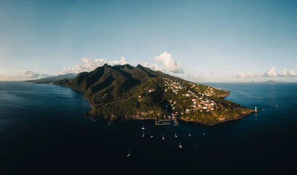
Aerial Drone Panorama Of Lighthouse At Vieux-Fort, The Southernmost Point Of Guadeloupe, Caribbean Sea.
9654 × 5618
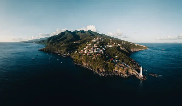
Aerial Drone Panorama Of Lighthouse At Vieux-Fort, The Southernmost Point Of Guadeloupe, Caribbean Sea.
8855 × 6211