Home
Images
Vectors
Videos
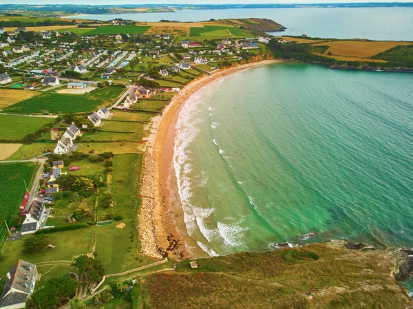
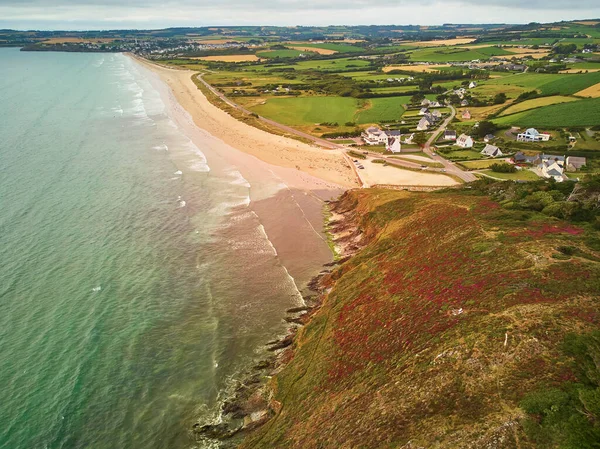
Stock image Aerial drone view of Atlantic ocean shore line in Finistere, Brittany, France. Aerial drone view of widely known tourist attraction along famous GR34 tracking path
Published:
Aug.26, 2020 10:10:56
Author:
encrier
Views:
36
Downloads:
1
File type:
image
/
jpg
File size:
10.97 MB
Orginal size:
3832
x
2870
px
Available sizes:
S
(500 x 374)
M
(1000 x 749)
L
(2000 x 1498)
XL
(3832 x 2870)
EL0
(3832 x 2870)
Level:
silver
Download Image
Image topics:
View
Sky
Path
Travel
Scene
Nature
Water
Sea
European
French
Wave
Landscape
Scenery
Foam
France
Coast
Coastal
Coastline
Ocean
Rock
Scenic
Shore
Tourism
Track
Landmark
Europe
Sand
Trail
Hiking
Trip
Traveling
Above
Cliff
Touristic
Atlantic
Aerial
Cape
Region
Bretagne
Brittany
Breathtaking
Drone
Frehel
Finistere
Tourist Attraction
Bird Eye View
Geotourism
GR34
Similar stock images
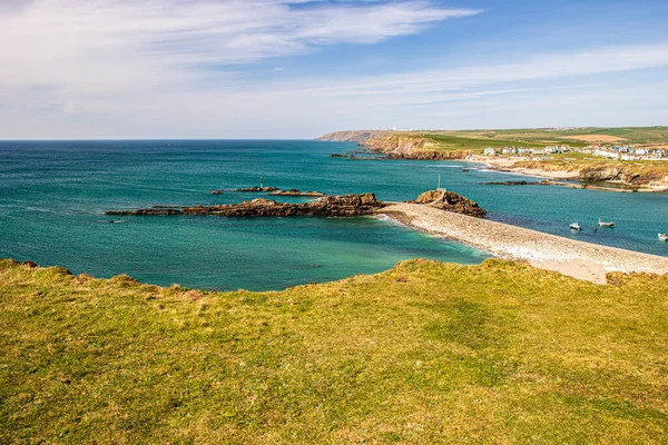
Aerial View Of The Camel Estuary And Atlantic Ocean In Cornwall, UK On A Sunny Summer Day
5444 × 3627
Aerial Drone View Of Atlantic Ocean Shore Line In Finistere, Brittany, France. Aerial Drone View Of Widely Known Tourist Attraction Along Famous GR34 Tracking Path
3896 × 2918
Aerial Drone View Of Atlantic Ocean Shore Line In Finistere, Brittany, France. Aerial Drone View Of Widely Known Tourist Attraction Along Famous GR34 Tracking Path
3916 × 2933
Aerial View Of Calf Island And Lifeboat Bay On Arranmore Island In County Donegal, Republic Of Ireland.
5464 × 3640
Aerial View Of Cornwall Seaside, UK
3968 × 3624
Bedruthan Steps In Cornwall England Uk
3840 × 2880
Bude Cornwall England UK - Landscape On A Sunny Day Over The Ocean
5852 × 3901
Minack Theathre Cornwall, UK
3813 × 5543