Home
Images
Vectors
Videos
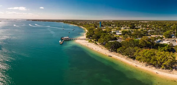
Stock image Aerial drone view of south part of Bribie Island, Sunshine Coast, Queensland, Australia
Published:
Sep.11, 2018 15:01:22
Author:
mvaligursky
Views:
17
Downloads:
2
File type:
image
/
jpg
File size:
9.12 MB
Orginal size:
6744
x
2678
px
Available sizes:
S
(500 x 199)
M
(1000 x 397)
L
(2000 x 794)
XL
(6744 x 2678)
EL0
(6744 x 2678)
Level:
silver
Download Image
Image topics:
Green
Summer
Water
Sunshine
Sea
Tropical
Bridge
Bay
Beach
Coast
Ocean
Panorama
Sand
Boat
Australia
Island
Aerial
Daytime
Boats
Drone
Aus
Queensland
Moreton
Bribie
Bribie Island
Pumicestone Passage Caloundra
Similar stock images
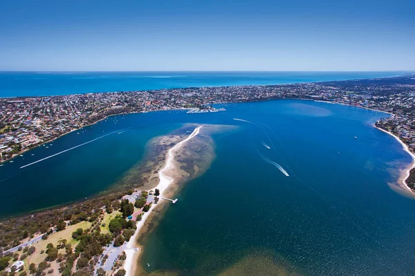
Aerial Drone View Of South Part Of Bribie Island, Sunshine Coast, Queensland, Australia
11762 × 2620
Aerial Photograph Of The Point Walter Sandbar Which Reaches Out Into The Swan River Near Fremantle, Western Australia. - Perth, Western Australia.
4252 × 2835
Aerial Panoramic View Of Kangaroo Island Coastline On Bright Sunny Day
4370 × 2380
Aerial View Of Beelbi Creek, Hervery Bay, Queensland, Australia
8237 × 5356
Aerial Drone View Of Beach And Currimundi Lake, Caloundra, Sunshine Coast, Queensland, Australia
14190 × 4442
An Aerial Drone View Of A Beautiful Ocean With Blue Clean Water And Boats On A Sunny Day
3953 × 2471
Noosa River And Noosa Spit Aerial View With Vibrant Blue Water On The Sunshine Coast In Queensland, Australia
3916 × 2935
Aerial View Of Bongaree Jetty On Bribie Island, Sunshine Coast, Queensland, Australia
5447 × 2621