Home
Images
Vectors
Videos
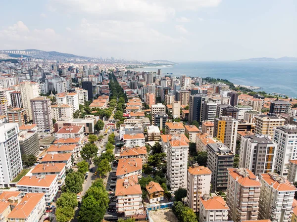
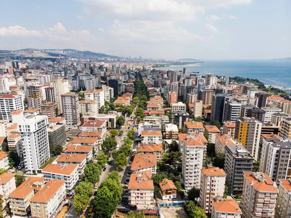
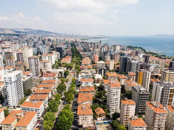
Stock image Aerial Drone View of Unplanned Urbanization City of Istanbul Kar
Published:
Mar.20, 2019 13:51:43
Author:
Alp_Aksoy
Views:
1
Downloads:
0
File type:
image
/
jpg
File size:
9.53 MB
Orginal size:
4048
x
3032
px
Available sizes:
S
(500 x 375)
M
(1000 x 749)
L
(2000 x 1498)
XL
(4048 x 3032)
EL0
(4048 x 3032)
Level:
bronze
Download Image
Image topics:
Blue
Background
View
Sky
Travel
Scene
Water
Sea
Traffic
Landscape
Architecture
Building
City
Construction
Urban
Real
Way
Brick
Panoramic
Bad
Country
Turkey
Istanbul
Marmara
Turkish
Irregular
Walls
Urbanisation
Haphazard
Conurbation
Urban Sprawl
Unguided
Kartal
Non Planned
Similar stock images
Aerial Drone View Of City Apartment Buildings In Goztepe Istanbul / Turkey. Cityscape.
4048 × 3032
Aerial View Of Bagdat Avenue (Turkish: Bagdat Caddesi) Is A Notable High Street Located On The Anatolian Side, Istanbul. Cityscape
4048 × 3032
Aerial View Of Bagdat Avenue (Turkish: Bagdat Caddesi) Is A Notable High Street Located On The Anatolian Side, Istanbul. Cityscape
4048 × 3032
Aerial Drone View Of Unplanned Urbanization City Of Istanbul Kar
4048 × 3032
Aerial Drone View Of Unplanned Urbanization City Of Istanbul Kar
4048 × 3032
Aerial View Of Bagdat Avenue (Turkish: Bagdat Caddesi) Is A Notable High Street Located On The Anatolian Side, Istanbul. Cityscape
4048 × 3032
Aerial Drone View Of City Apartment Buildings In Goztepe Istanbul / Turkey. Cityscape.
4048 × 3032
Aerial Drone View Of Unplanned Urbanization City Of Istanbul Kar
4048 × 3032