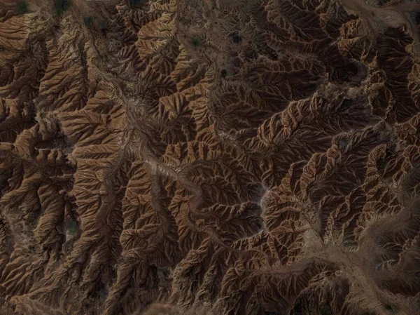
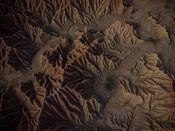
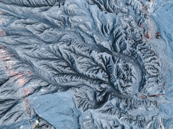
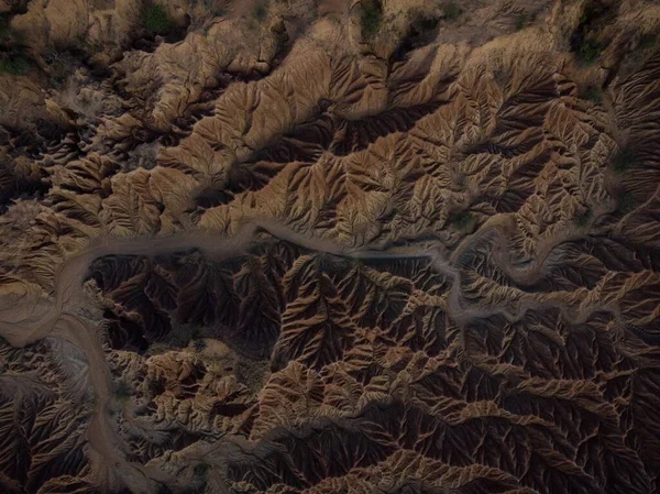
Stock image Aerial panorama view of Tatacoa desert tropical dry forest red sand stone labyrinth in Villavieja Neiva Huila Colombia South America
Published: Apr.23, 2021 08:38:21
Author: maphke
Views: 1
Downloads: 0
File type: image / jpg
File size: 1.5 MB
Orginal size: 4048 x 3032 px
Available sizes:
Level: beginner