Home
Images
Vectors
Videos
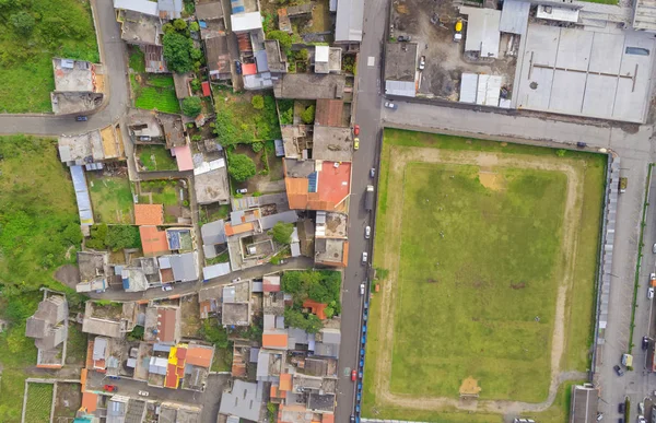
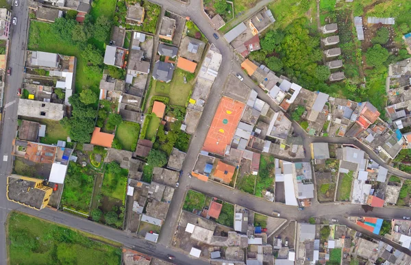
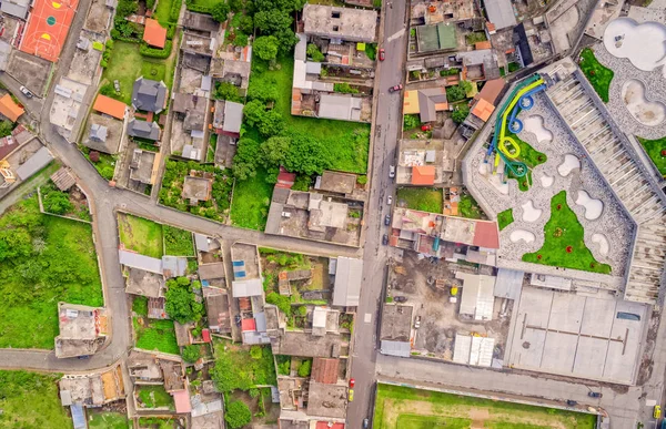
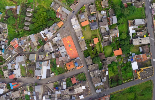
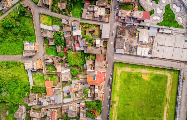
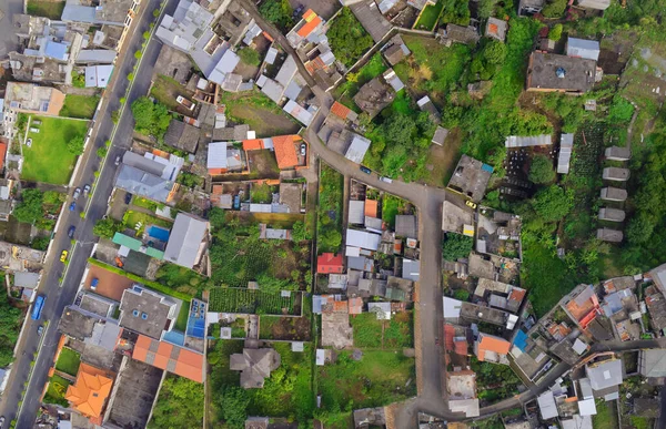
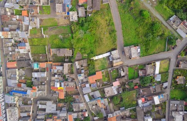
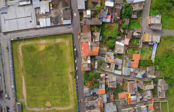
Stock image aerial photo from flying drone of banos de agua santa latin american town tungurahua province south america
Published:
May.25, 2020 14:34:37
Author:
ammmit
Views:
3
Downloads:
0
File type:
image
/
jpg
File size:
9.44 MB
Orginal size:
4505
x
2912
px
Available sizes:
S
(500 x 323)
M
(1000 x 646)
L
(2000 x 1293)
XL
(4505 x 2912)
EL0
(4505 x 2912)
Level:
bronze
Download Image
Image topics:
Background
View
High
Outdoor
Tree
Square
Car
Road
Modern
Landscape
Architecture
Building
City
Construction
Downtown
Exterior
House
Urban
Roof
Scenery
Street
Property
Tranquility
Panorama
Cityscape
Town
Panoramic
Navigation
Architectural
Land
Ground
Flight
Infrastructure
Vegetation
Above
Crowded
Attraction
Destination
Community
Aerial
Valley
Avenue
Altitude
Gps
Crossroads
Neighborhood
Ecuador
South America
Football Field
Banos De Agua Santa
Similar stock images
Aerial Photo From Flying Drone Of Banos
4505 × 2912
Aerial View Of City Suburbs In Banos, Ecuador
4505 × 2912
Top Urban View Of Lots Of Houses In Banos De Agua Santa, Ecuador
4505 × 2912
Aerial View Of City Suburbs In Banos De Agua Santa Tungurahua Province South America
4505 × 2912
Aerial Shot Of Small City In The Andean Highlands, Ecuador
4505 × 2912
Urban City, Aerial Panorama View Of Banos, Ecuador
4505 × 2912
Urban City Aerial Panorama View Of Banos De Agua Santa Latin American City Tungurahua Province South America
4505 × 2912
High Angle View Of Banos, Ecuador
4505 × 2912