Home
Images
Vectors
Videos
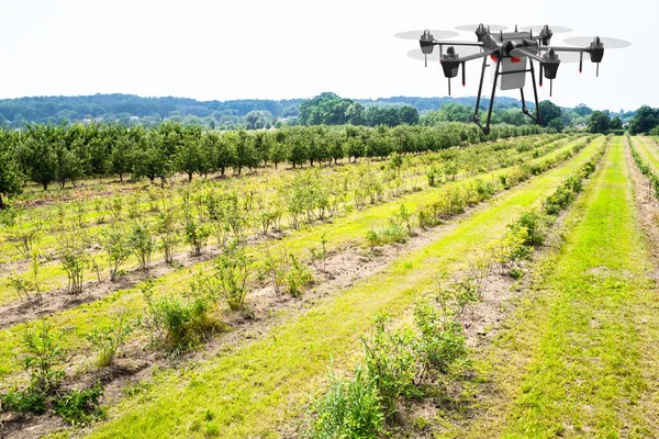
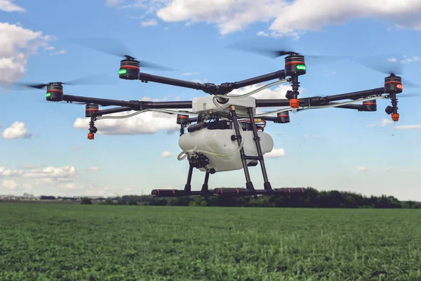
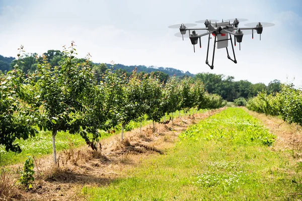
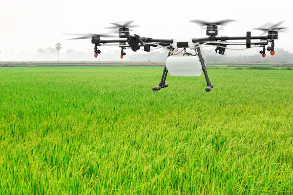
Stock image aerial soil scanning with drone
Published:
Aug.06, 2019 10:17:40
Author:
aerogondo2
Views:
32
Downloads:
2
File type:
image
/
jpg
File size:
8.46 MB
Orginal size:
3700
x
2775
px
Available sizes:
S
(500 x 375)
M
(1000 x 750)
L
(2000 x 1500)
XL
(3700 x 2775)
EL0
(3700 x 2775)
Level:
beginner
Download Image
Image topics:
Green
People
Field
Flying
Man
Efficiency
Technology
Modern
Hat
Industry
Farm
Agriculture
Digital
Data
Professional
Tool
Disease
Camera
Recording
Farming
Production
Soil
Engineering
Farmland
Area
Vision
Analyzing
Innovation
Engineer
Farmer
Fertility
Saving
Aerial
Infrared
Agronomy
Assistant
Scanning
Monitoring
Productivity
Inspection
Inspector
Increasing
Mapping
Agronomist
Drone
Supervising
Surveying
Agribusiness
Remote Control
Smartfarm
Similar stock images
Agriculture Industry Farming Technology At Plant Field Or Farm
8582 × 5720
Drone Quad Copter On Green Corn Field
6720 × 4480
Drone Flying Above Beautiful Landscape Green Field.
4242 × 2828
Agriculture Industry Farming Technology At Plant Field Or Farm
9504 × 6336
Agriculture Drone Flying On The Green Rice Field
5465 × 3643
A Modern Solution In Agricultural. Use Of Robotic Systems With Agriculture Spraying Drone Fly To Sprayed Spraying Chemical From Insects - Insecticides, Fungicides, Acaricide, Or Herbicides From Weeds.
3488 × 2333
Drone Quad Copter On Green Corn Field
6720 × 4480
The Drone Quad Copter Is Flying Over The Plowed Field
5472 × 3648