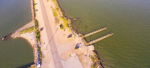
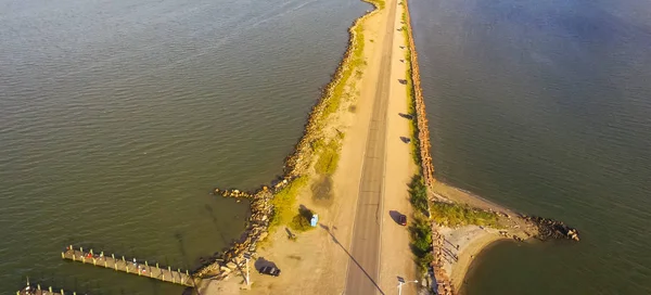
Stock image Aerial view banks of famous Texas City Dike, a levee that projects nearly 5miles south-east into mouth of Galveston Bay. Top view coastal of the shore of Galveston Island.

Published: Sep.03, 2018 13:22:43
Author: trongnguyen
Views: 1
Downloads: 0
File type: image / jpg
File size: 6.33 MB
Orginal size: 4000 x 3000 px
Available sizes:
Level: bronze