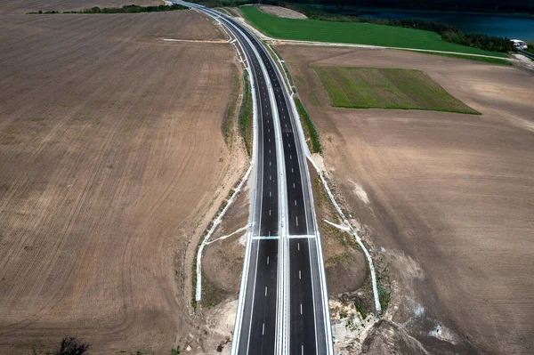
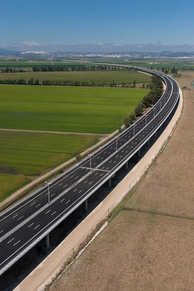
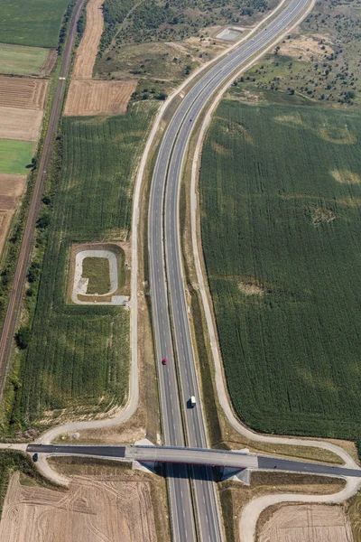
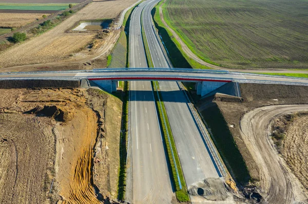
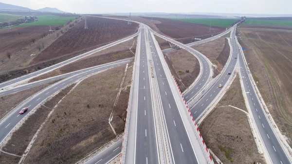
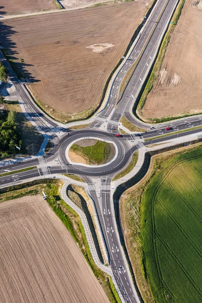
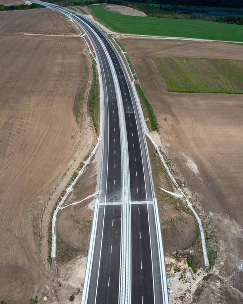
Stock image Aerial view from a drone of a new highway. Transportation and infrastructure concept
Published: Jun.16, 2022 09:13:04
Author: edi01.mail.bg
Views: 2
Downloads: 0
File type: image / jpg
File size: 7.48 MB
Orginal size: 2800 x 3495 px
Available sizes:
Level: beginner