Home
Images
Vectors
Videos
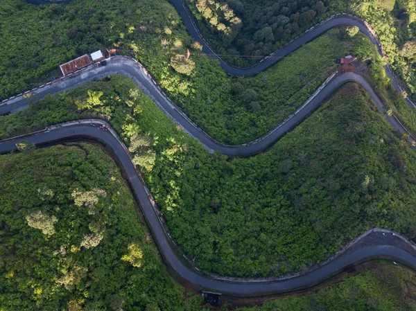
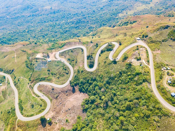
Stock image Aerial view from camera drone of steep and winding road to Phu Thap Boek and Phu Hin Rong Kla National park
Published:
Sep.07, 2018 13:41:27
Author:
teptong
Views:
4
Downloads:
0
File type:
image
/
jpg
File size:
14.21 MB
Orginal size:
3992
x
2992
px
Available sizes:
S
(500 x 375)
M
(1000 x 749)
L
(2000 x 1499)
XL
(3992 x 2992)
EL0
(3992 x 2992)
Level:
bronze
Download Image
Image topics:
View
Curve
Rural
Transportation
Mountain
Road
Landscape
Village
Farm
Way
Street
Range
Scenic
Route
Slope
Hill
Ridge
Thailand
Curved
Terrain
Asphalt
Steep
Aerial
Highland
Winding
Drone
Hmong
Mong
National Park
Bird Eye
Phetchabun
Hill Tribe
Phu Hin Rong Kla
Phu Thap Boek
Phu Man Khao
Similar stock images
Aerial View From Camera Drone Of Steep And Winding Road To Phu Thap Boek And Phu Hin Rong Kla National Park
3992 × 2992
Aerial View From Camera Drone Of Steep And Winding Road To Phu Thap Boek And Phu Hin Rong Kla National Park
3992 × 2992
Aerial View From Camera Drone Of Steep And Winding Road To Phu Thap Boek And Phu Hin Rong Kla National Park
3992 × 2992
Aerial Shot Of Some Road Serpentines
5464 × 3640
Aerial Shot Of Some Road Serpentines
5464 × 3640
Aerial Shot Of Some Road Serpentines
5464 × 3640
Aerial View Of Cars Driving On Curved, Zigzag Curve Road Or Street On Mountain Hill With Green Natural Forest Trees In Rural Area Of Nan, Thailand. Transportation.
5000 × 2967
Overhead Drone Photo Of The Road On The Slopes Of A Mountain And Surrounded By Dense Forest. It Located In Mount Telomoyo In Clear Weather
3992 × 2992