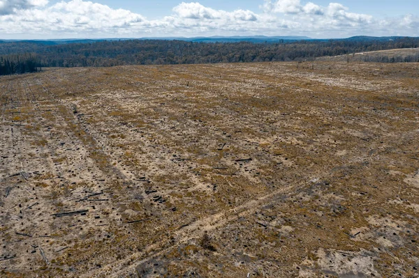
Stock image Aerial view of a cleared open field affected by bushfire in the Central Tablelands in regional New South Wales in Australia
Published: Nov.24, 2020 09:45:10
Author: WittkePhotos
Views: 5
Downloads: 1
File type: image / jpg
File size: 15.84 MB
Orginal size: 5335 x 3554 px
Available sizes:
Level: beginner
Similar stock images

An Aerial Shot Of A Tree In Sweden With Its Fir Trees Cut Down - Deforestation In The Swedish Countryside
4000 × 3000