Home
Images
Vectors
Videos
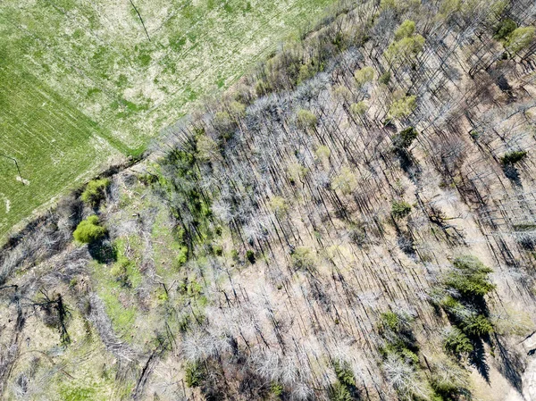
Stock image Aerial view of a dirt road running through a forest affected by bushfire in the Central Tablelands in regional New South Wales in Australia
Published:
Nov.24, 2020 09:45:10
Author:
WittkePhotos
Views:
0
Downloads:
0
File type:
image
/
jpg
File size:
20.94 MB
Orginal size:
5464
x
3640
px
Available sizes:
S
(500 x 333)
M
(1000 x 666)
L
(2000 x 1332)
XL
(5464 x 3640)
EL0
(5464 x 3640)
Level:
beginner
Download Image
Image topics:
Green
Blue
View
Sky
Travel
Grass
Outdoors
Nature
Environment
Plant
Flying
Plants
Natural
Brown
Tree
Cloud
Road
Landscape
Trees
Forest
Fire
Scenery
Clouds
Dirt
Track
Bush
Outside
Land
Australia
Aerial
Overhead
Regeneration
Drone
Bushfire
Bushland
Regenerate
Uav
Dirt Road
New South Wales
Forest Fire
Central Tablelands
Similar stock images
Bear Butte State Park In Summer, South Dakota
5184 × 3456
Drop Down View Of Spectacular Volcanic Landscape With Magma Layers.
3900 × 2921
Texture Of Tree Bark With Moss, Close-up Tree Background
6000 × 4000
Tree Bark Background, Texture
3264 × 4928
Estonia Swamp Moor Landscape Nature Trail National Park
2988 × 5312
Drone Image. Aerial View Of Rural Area With Fields And Forests I
3992 × 2992
A Part Of Old Tree Stem, Covered With Brown Bark In Forest Woods In Winter. Bare Tree. Natural Texture Background
6016 × 4016
Narrow Path Passing Through The Field
5546 × 3702