Home
Images
Vectors
Videos
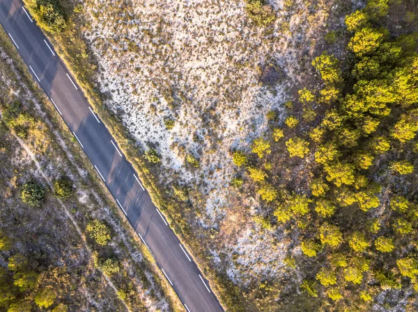
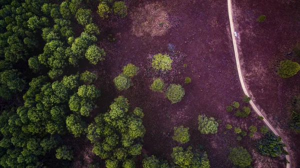
Stock image Aerial view of a road that cuts through a lush forest, on the other side is an area destroyed by humans for cultivation of mountain crops. Areas with dense smog and covered with PM2.5. Air pollution
Published:
Mar.13, 2023 10:31:53
Author:
moomy_amy.outlook.co.th
Views:
2
Downloads:
0
File type:
image
/
jpg
File size:
1.93 MB
Orginal size:
4000
x
2250
px
Available sizes:
S
(500 x 281)
M
(1000 x 563)
L
(2000 x 1125)
XL
(4000 x 2250)
EL0
(4000 x 2250)
Level:
beginner
Download Image
Image topics:
Green
Background
View
Sky
Travel
Summer
Grass
Field
Nature
Outdoor
Environment
Rural
Health
Natural
Danger
Tree
Mountain
Dangerous
Hazard
Weather
Road
Landscape
Smoke
Ecology
Emergency
Agriculture
Forest
Burn
Fire
Heat
Countryside
Environmental
Burnt
Problem
Ecological
Pollution
Hill
Ground
Destruction
Disaster
Damage
Suburb
Contamination
Destroy
Atmospheric
Wildfire
Devastation
Climate Change
Air Pollution
Similar stock images
Aerial View Of A Road That Cuts Through A Lush Forest, On The Other Side Is An Area Destroyed By Humans For Cultivation Of Mountain Crops. Areas With Dense Smog And Covered With PM2.5. Air Pollution
4000 × 2250
Aerial View Of A Road That Cuts Through A Lush Forest, On The Other Side Is An Area Destroyed By Humans For Cultivation Of Mountain Crops. Areas With Dense Smog And Covered With PM2.5. Air Pollution
4000 × 2250
Road Through Sparsely Vegetated Barren Landscape In Cevennes Near Ganges, Occitania, France
3992 × 2992
Aerial Vertical View Of Country Side With Off Road And Forest Of Trees. Woods And Environment Above Landscape
3200 × 1797
Bird Eye View Of Decidous Forest Field In Northern Of Thailand
3300 × 1853
Top Down Look To Connection Of Paths Between Grass And Bushes
3998 × 2997
Narrow, Asphalt Road Running Through A Green, Dense Forest. Top View, The Photo Was Taken With A Flying Drone.
5464 × 3640
View From The Drone Of A Route Designed To Be Used By People With Engine Problems
6000 × 4000