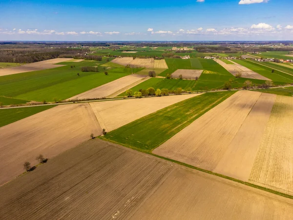
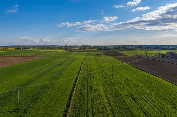
Stock image Aerial view of a rolling agricultural area of the pajottenland in Belgium, Europe and green wavy fields in sunny day. Aerial photography, top view drone shot. Belgian agrarian region, Europe

Published: Jun.29, 2023 14:17:46
Author: bjorn999
Views: 0
Downloads: 0
File type: image / jpg
File size: 8.57 MB
Orginal size: 4017 x 3013 px
Available sizes:
Level: beginner