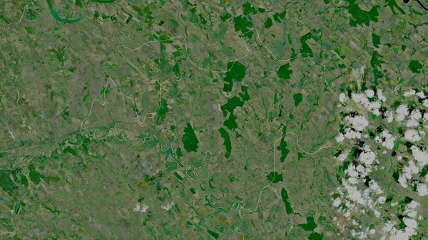
Stock image Aerial view of Dal Lake, India. Elements of this image furnished by NASA.

Published: Oct.26, 2022 13:53:53
Author: emre03
Views: 2
Downloads: 0
File type: image / jpg
File size: 6.86 MB
Orginal size: 2884 x 2193 px
Available sizes:
Level: beginner
Similar stock images

Abstract Texture Color. The Colors Of The Earth From Space. Created Based On Images From NASA
3790 × 3400

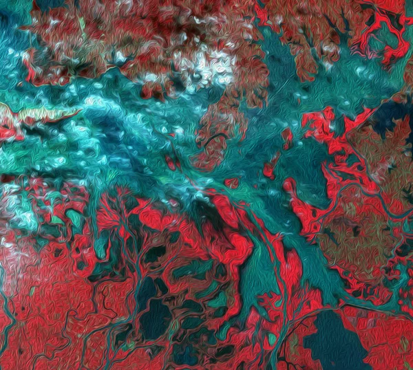
Abstract Texture Color. The Colors Of The Earth From Space. Created Based On Images From NASA
3790 × 3400
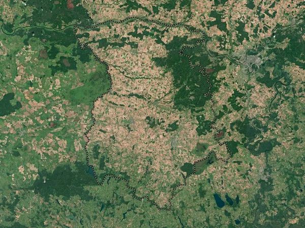
Drochia, District Of Moldova. Satellite Imagery. Shape Outlined Against Its Country Area. 3D Rendering
2880 × 1620