Home
Images
Vectors
Videos
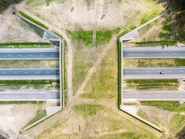
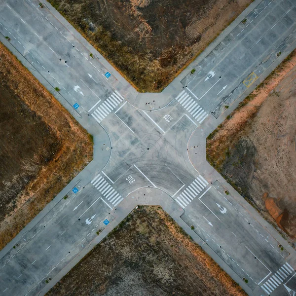
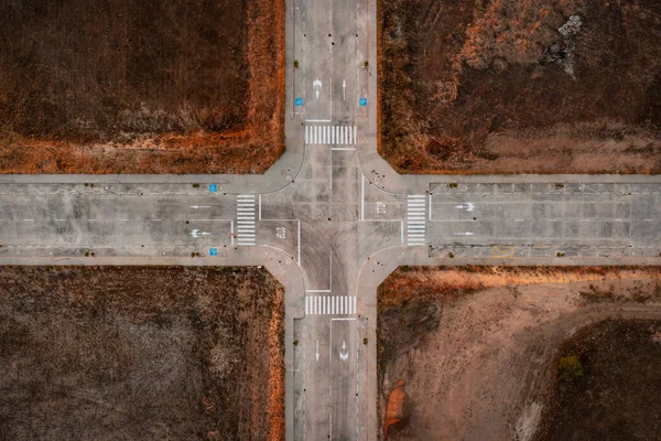
Stock image Aerial view of empty intercity road. top view from drone of highway searching paths and lines.
Published:
Nov.25, 2022 05:38:05
Author:
juan_sk8_@hotmail.com
Views:
3
Downloads:
0
File type:
image
/
jpg
File size:
12.18 MB
Orginal size:
6838
x
6838
px
Available sizes:
S
(500 x 500)
M
(1000 x 1000)
L
(2000 x 2000)
XL
(6838 x 6838)
EL0
(6838 x 6838)
Level:
beginner
Download Image
Image topics:
Background
View
Beautiful
Path
Business
Sign
Travel
Grass
Outdoors
Outdoor
Environment
Transport
Transportation
Car
Speed
Road
Traffic
Landscape
Architecture
Building
City
Downtown
Urban
Cross
Way
Street
Route
Highway
Track
Safety
Cityscape
Top
Lane
Direction
Infrastructure
Tracks
Above
Pavement
Motorway
Railroad
Intersection
Aerial
Crossroad
Sidewalk
Crosswalk
Pathway
Drone
Interchange
Top View
Aerial View
Similar stock images
Aerial View Of Empty Intercity Road. Top View From Drone Of Highway Searching Paths And Lines.
7212 × 7212
An Aerial View Of Cityscape And Cars On Cross Road
3885 × 2914
Aerial View Of Empty Intercity Road. Top View From Drone Of Highway Searching Paths And Lines.
5318 × 3546
Aerial View Of Empty Intercity Road. Top View From Drone Of Highway Searching Paths And Lines.
5318 × 3546
Aerial View Of Empty Intercity Road. Top View From Drone Of Highway Searching Paths And Lines.
5097 × 3398
Expressway With Ecoduct Crossing - Bridge Over A Motorway That Allows Wildlife To Safely Cross Over The Road, Aerial Top Down View
4048 × 3032
Vertical Aerial View Over Car Parking Place Near The Multi-storey Building. Ukraine
3992 × 2242
UKRAINE. NIKOPOL. JUNE, 2017: Ukraine City Council
3881 × 2907