Home
Images
Vectors
Videos
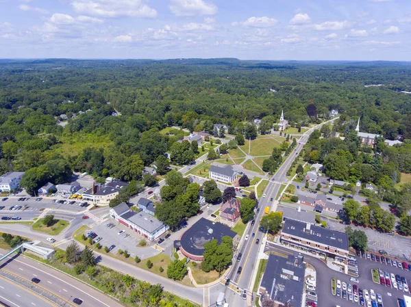
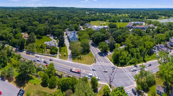
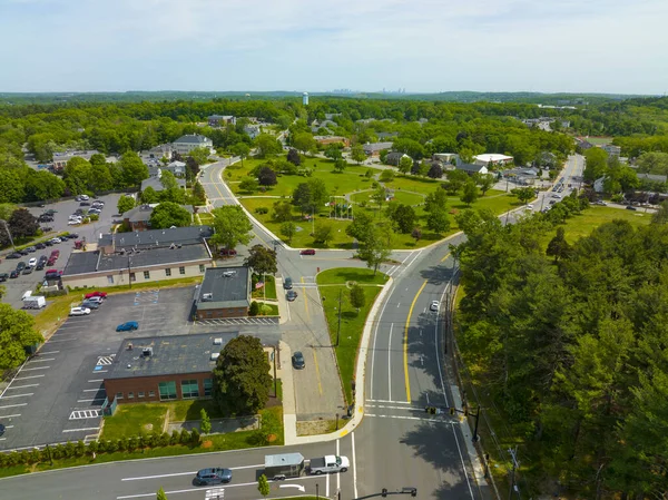
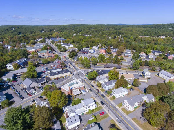
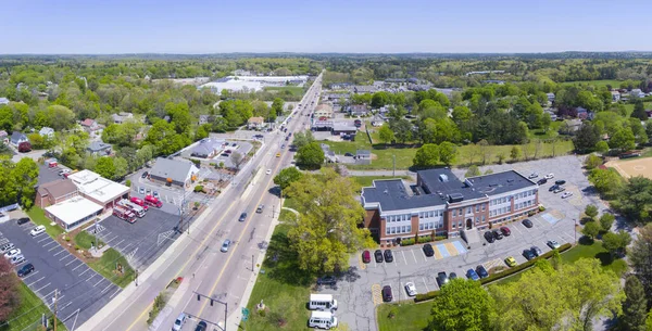
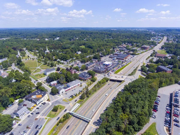
Stock image Aerial view of Framingham Centre Common Historic District and Massachusetts Route 9 in Framingham, Massachusetts MA, USA.
Published:
Jul.16, 2021 06:52:02
Author:
jiawangkun
Views:
2
Downloads:
0
File type:
image
/
jpg
File size:
5.92 MB
Orginal size:
3000
x
2248
px
Available sizes:
S
(500 x 375)
M
(1000 x 749)
L
(2000 x 1499)
XL
(3000 x 2248)
EL0
(3000 x 2248)
Level:
bronze
Download Image
Image topics:
View
New
Travel
Transportation
Old
First
Road
Architecture
Building
Center
City
Downtown
House
Church
Religion
American
Usa
Tourism
Route
Highway
Landmark
Town
Hall
District
Architectural
Christian
Historic
History
Centre
Station
Tourist
State
Historical
Common
Attraction
Tour
America
Religious
Metro
Aerial
United
England
Expressway
Massachusetts
Nation
Parish
Ma
Major
Worcester
Framingham
Similar stock images
Aerial View Of First Parish Church At Framingham Centre Common Historic District In Framingham, Massachusetts MA, USA.
3000 × 2248
Aerial View Of Framingham Centre Common Historic District And Massachusetts Route 9 In Framingham, Massachusetts MA, USA.
3000 × 2000
Wayland Historic Town Center Panoramic Aerial View In Summer At Boston Post Road And MA Route 27, Including First Parish Church And Town Hall, Wayland, Massachusetts MA, USA.
6292 × 3509
Burlington Historic Town Center Aerial View Including Town Common, Town Hall In Summer, Town Of Burlington, Massachusetts MA, USA.
5280 × 3956
Ashland Town Center Aerial View Including Federated Church And Town Hall In Ashland, Massachusetts MA, USA.
3992 × 2992
Wayland Historic Town Center Aerial View In Summer At Boston Post Road And MA Route 27, Including First Parish Church And Town Hall, Wayland, Massachusetts MA, USA.
3992 × 2992
Essex Historic Town Center On Main Street And Essex River Swamp Aerial View In Spring In Cape Ann, Massachusetts MA, USA.
3992 × 2992
Aerial View Panorama Of Millis Town Hall On Main Street At The Town Center Of Millis In Boston Metro West Area, Massachusetts, MA, USA.
4904 × 2493