Home
Images
Vectors
Videos
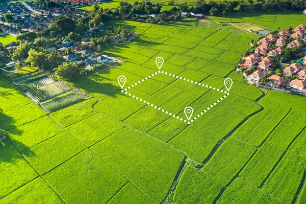
Stock image Aerial view of land and positioning point area.
Published:
Jul.06, 2020 12:10:45
Author:
roncivil
Views:
866
Downloads:
203
File type:
image
/
jpg
File size:
13.77 MB
Orginal size:
5464
x
3640
px
Available sizes:
S
(500 x 333)
M
(1000 x 666)
L
(2000 x 1332)
XL
(5464 x 3640)
EL0
(5464 x 3640)
Level:
silver
Download Image
Image topics:
Green
White
Background
Money
Design
Sale
Business
Buy
Financial
New
Summer
Model
Field
Success
Nature
Outdoor
Plant
Rural
Natural
Food
Crop
Cut
Landscape
Symbol
Concept
Architecture
Building
Estate
House
Real
Agriculture
Home
Development
Earth
Investment
Loan
Finance
Invest
Mortgage
Property
Point
Country
Area
Land
Residential
Rent
Location
Boundary
Plot
Positioning Map
Similar stock images
Land Plot In Aerial View. Identify Registration Symbol Of Vacant Area For Map. That Property, Real Estate For Business Of Home, House Or Residential I.e. Construction, Development, Sale, Rent And Buy.
5464 × 3640
Land Or Landscape Of Green Field In Aerial View. Plot Of Land On Earth For Agriculture Farm, Farmland Or Plantation With Texture Pattern Of Crop, Rice, Paddy. Rural Area With Nature At Countryside.
5464 × 3640
Land Plot In Aerial View. Identify Registration Symbol Of Vacant Area For Map. That Property, Real Estate For Business Of Home, House Or Residential I.e. Construction, Development, Sale, Rent And Buy.
5464 × 3640
Land Plot In Aerial View. Gps Registration Survey Of Property, Real Estate For Map With Location, Area. Concept For Residential Construction And Development. Also Home, House For Sale, Buy, Purchase,
5464 × 3640
Land Plot In Aerial View. Gps Registration Survey Of Property, Real Estate For Map With Location, Area. Concept For Residential Construction And Development. Also Home, House For Sale, Buy, Purchase.
5464 × 3640
Land Plot In Aerial View. Identify Registration Symbol Of Vacant Area For Map. That Property, Real Estate For Business Of Home, House Or Residential I.e. Construction, Development, Sale, Rent And Buy.
5464 × 3640
Land Plot In Aerial View. Identify Registration Symbol Of Vacant Area For Map. Real Estate Or Property For Business Of Home, House Or Residential I.e. Development, Sale, Rent, Buy Or Purchase.
5464 × 3640
Land Plot In Aerial View. Gps Registration Survey Of Property, Real Estate For Map With Location, Area. Concept For Residential Construction And Development. Also Home, House For Sale, Buy, Purchase.
5464 × 3640