Home
Images
Vectors
Videos
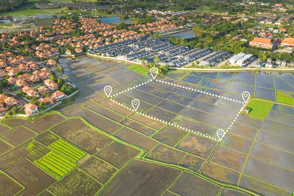
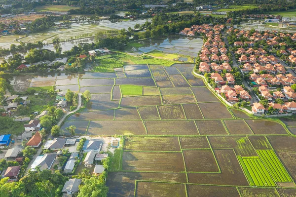
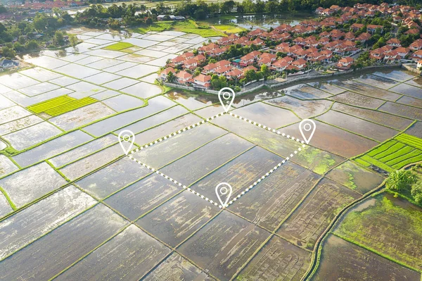
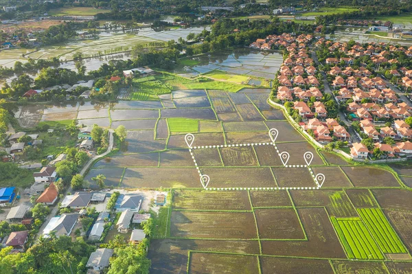
Stock image Aerial view of land and positioning point area.
Published:
Jul.29, 2020 14:31:56
Author:
roncivil
Views:
369
Downloads:
48
File type:
image
/
jpg
File size:
17.55 MB
Orginal size:
5464
x
3640
px
Available sizes:
S
(500 x 333)
M
(1000 x 666)
L
(2000 x 1332)
XL
(5464 x 3640)
EL0
(5464 x 3640)
Level:
silver
Download Image
Image topics:
Green
White
Background
Money
Design
Sale
Business
Buy
Financial
New
Summer
Model
Field
Success
Nature
Outdoor
Plant
Rural
Natural
Food
Crop
Cut
Landscape
Symbol
Concept
Architecture
Building
Estate
House
Real
Agriculture
Home
Development
Earth
Investment
Loan
Finance
Invest
Mortgage
Property
Point
Country
Area
Land
Residential
Rent
Location
Boundary
Plot
Positioning Map
Similar stock images
Aerial View Of Land And Positioning Point Area.
5464 × 3640
Aerial View Of Land And Housing Estate In Chiang Mai Province Of Thailand.
5464 × 3640
Aerial View Of Land And Positioning Point Area.
5448 × 3629
Land, House, Residential Area And Satellite In Aerial View. Concept Of Plot On Earth, Map Data, Survey Or Measurement By Gps, System, Technology. Real Estate And Property For Sale, Buy, Development.
5464 × 3640
Aerial View Of Land And Positioning Point Area.
5464 × 3640
Land, Landscape Or Green Field In Aerial View. Include Bar Chart Or Graph, Drop Down Arrow. Real Estate Or Property With Concept For Sale Price, Land Value To Decrease, Reduction Or Negative Trend.
5464 × 3640
Land Plot In Aerial View. Real Estate Or Property Consist Of Empty Land Or Green Field And Gps Position Pin Point Of Location For Development By Housing Construction, Sale, Rent, Buy Or Investment.
5464 × 3640
Land Values In Aerial View. Consist Of Landscape, Green Field And Agriculture Farm. That Real Estate Or Property For Housing Subdivision, Development, Sale, Rent, Buy Or Investment In Chiang Mai.
5464 × 3640