Home
Images
Vectors
Videos
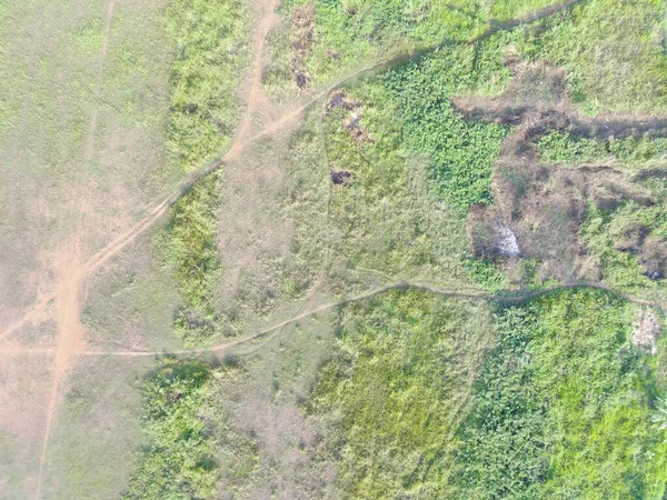
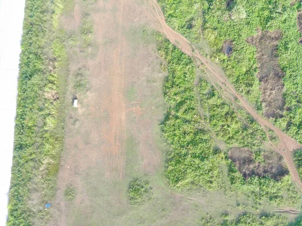
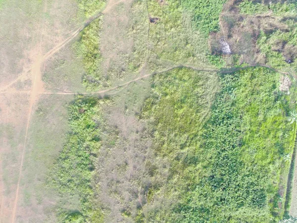
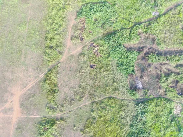
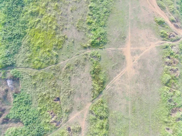
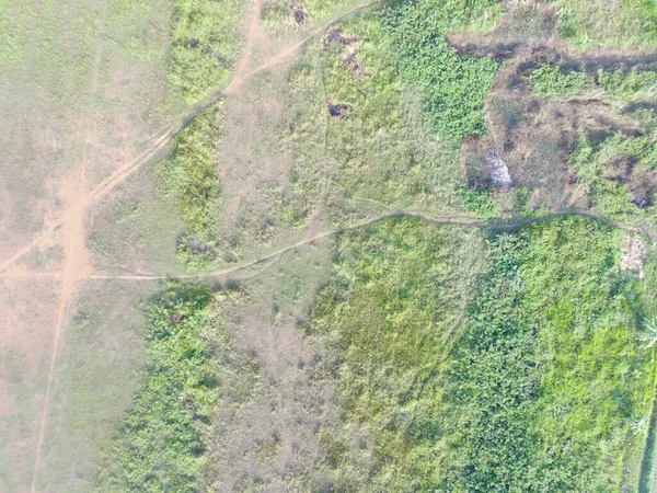
Stock image aerial view of land mapping by unmaned aerial vehicle in Bogor, Indonesia.
Published:
Mar.03, 2023 14:08:01
Author:
MuchlisNugroho
Views:
0
Downloads:
0
File type:
image
/
jpg
File size:
7.22 MB
Orginal size:
4000
x
3000
px
Available sizes:
S
(500 x 375)
M
(1000 x 750)
L
(2000 x 1500)
XL
(4000 x 3000)
EL0
(4000 x 3000)
Level:
beginner
Download Image
Image topics:
Large
Flying
Cloud
Position
Sunrise
Estate
Industry
Urban
Evening
Development
Professional
Tool
Pin
Investment
Property
Skyline
Top
Hill
Engineering
Site
Map
Area
Land
Ground
Aerial
Daytime
Survey
Investigation
Gps
Surveyor
Inspection
Registration
Mapping
Surveying
Geodesy
Uav
Professional Drone
Aerial Inspection
Business Technology Home
Similar stock images
Aerial View Of Land Mapping By Unmaned Aerial Vehicle In Bogor, Indonesia.
4000 × 3000
Aerial View Of Land Mapping By Unmaned Aerial Vehicle In Bogor, Indonesia.
4000 × 3000
Aerial View Of Land Mapping By Unmaned Aerial Vehicle In Bogor, Indonesia.
4000 × 3000
Aerial View Of Land Mapping By Unmaned Aerial Vehicle In Bogor, Indonesia.
4000 × 3000
Aerial View Of Land Mapping By Unmaned Aerial Vehicle In Bogor, Indonesia.
4000 × 3000
Aerial View Of Land Mapping By Unmaned Aerial Vehicle In Bogor, Indonesia.
4000 × 3000
Aerial View Of Land Mapping By Unmaned Aerial Vehicle In Bogor, Indonesia.
4000 × 3000
Aerial View Of Land Mapping By Unmaned Aerial Vehicle In Bogor, Indonesia.
4000 × 3000