Home
Images
Vectors
Videos
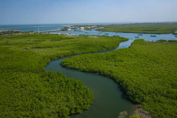
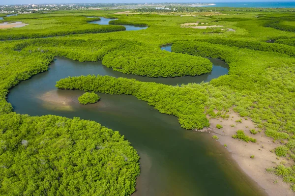
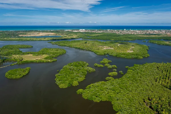
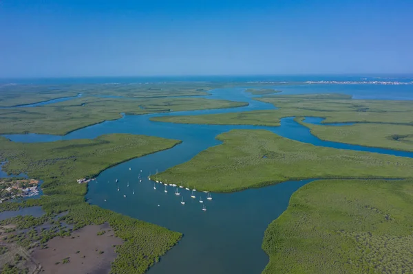
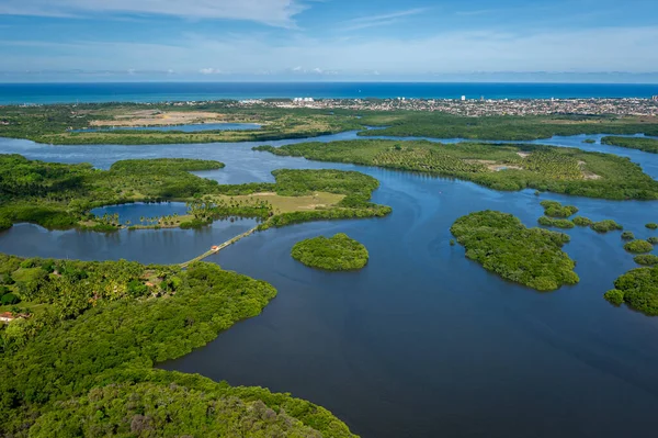
Stock image Aerial view of mangrove forest in Gambia. Photo made by drone fr
Published:
Nov.26, 2019 15:46:45
Author:
Curioso_Travel_Photography
Views:
3
Downloads:
0
File type:
image
/
jpg
File size:
19.01 MB
Orginal size:
5455
x
3634
px
Available sizes:
S
(500 x 333)
M
(1000 x 666)
L
(2000 x 1332)
XL
(5455 x 3634)
EL0
(5455 x 3634)
Level:
silver
Download Image
Image topics:
Green
Background
Sky
Beautiful
Travel
Summer
Park
Outdoors
Nature
Outdoor
Environment
Leaf
Water
Natural
Animal
Tree
Sea
Branch
African
Wildlife
Tropical
River
Landscape
Trees
Forest
Jungle
Scenic
Tourism
Wild
Bush
Top
Africa
Lake
Vein
Above
Boat
Monkey
Island
Aerial
Root
Rainforest
Delta
Arial
Gambia
Senegal
Drone
Mangrove
Mangroves
Zanzibar
Mangrove Forest
Similar stock images
Gambia Mangroves. Aerial View Of Mangrove Forest In Gambia. Phot
5455 × 3634
Aerial View Of Mangrove Forest In Gambia. Photo Made By Drone Fr
5434 × 3620
Santa Cruz Channel, South Of The Island Of Itamaraca, Near Recife, Pernambuco, Brazil On March 1, 2014. Forests, Mangroves And Coconut Trees Between The River, Forming Small Islands. Aerial View
4137 × 2753
Canal De Santa Cruz, South Of The Island Of Itamaraca, Near Recife, Pernambuco, Brazil On March 1, 2014. Forests, Mangroves And Coconut Trees Between The River, Forming Small Islands. Aerial
4137 × 2753
Aerial View Of Mangrove Forest In Gambia. Photo Made By Drone Fr
5464 × 3640
Santa Cruz Channel, South Of The Island Of Itamaraca, Near Recife, Pernambuco, Brazil On March 1, 2014. Forests, Mangroves And Coconut Trees Between The River, Forming Small Islands. Aerial View
4108 × 2734
Canal De Santa Cruz, South Of The Island Of Itamaraca, Near Recife, Pernambuco, Brazil On March 1, 2014. Forests, Mangroves And Coconut Trees Between The River, Forming Small Islands. Aerial
4108 × 2734
Ruins At The Archaeological Complex Durankulak Lake In Bulgaria
5464 × 3640