Home
Images
Vectors
Videos
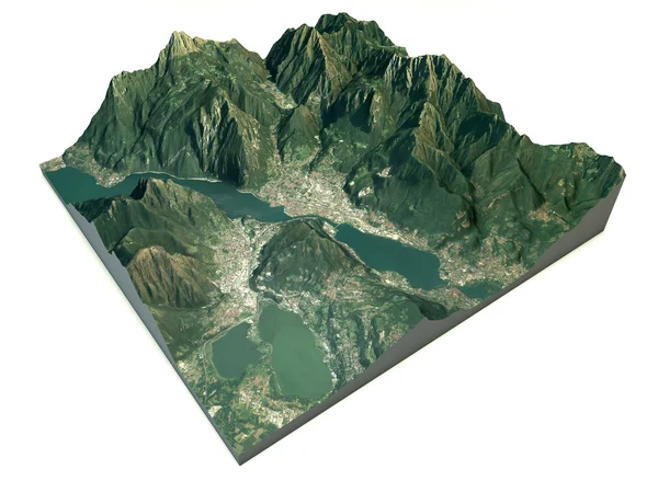
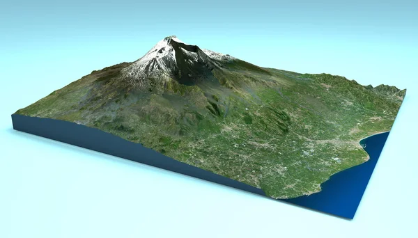
Stock image Aerial view of Mount Etna, Sicily map
Published:
Aug.06, 2014 07:04:25
Author:
vampy1
Views:
505
Downloads:
2
File type:
image
/
jpg
File size:
9.06 MB
Orginal size:
5511
x
3149
px
Available sizes:
S
(500 x 286)
M
(1000 x 571)
L
(2000 x 1143)
XL
(5511 x 3149)
EL0
(5511 x 3149)
Level:
silver
Download Image
Image topics:
View
Danger
Sea
3d
Explosion
Italy
Coast
Section
Spill
Map
Geography
Area
Volcano
Aerial
Satellite
Region
Southern
Lava
Etna
Sicily
Disasters
Cutaway
Neighboring
Similar stock images
Mount Etna Satellite View
4724 × 2812
Hawaii, Honolulu, Waikiki, Satellite View
4724 × 3149
Vibo Valentia And The Surrounding Area Map
4724 × 3333
Indigo Dolomites Satellite View
4724 × 3543
Indigo Dolomites Satellite View
4724 × 3543
Aerial View Of The Lake Of Lecco
4180 × 3464
Aerial View Of Lake Como, Laglio Map
4724 × 3464
Aerial View Of The Lake Of Lecco
4724 × 3464