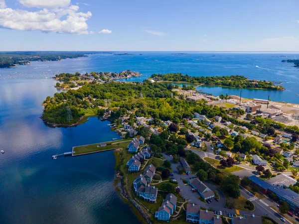
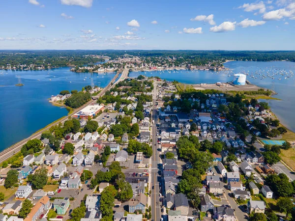
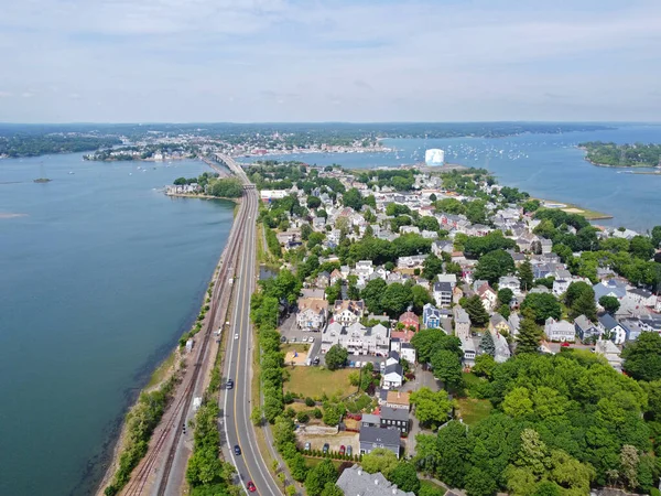
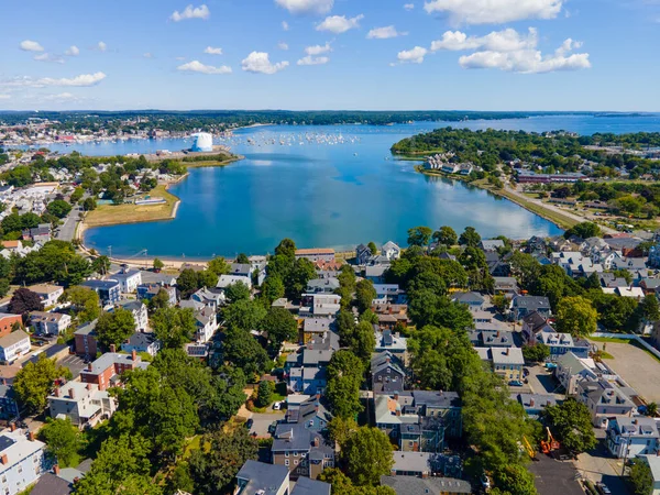
Stock image Aerial view of Salem Neck historic district, Danvers River, Beverly Harbor and Essex Bridge connecting Salem and Beverly in City of Salem, Massachusetts MA, USA.
Published: Apr.18, 2023 11:01:31
Author: jiawangkun
Views: 1
Downloads: 0
File type: image / jpg
File size: 27.17 MB
Orginal size: 8000 x 6000 px
Available sizes:
Level: bronze
Similar stock images


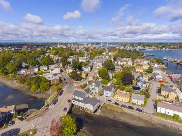
Portsmouth Historic City Center And Waterfront Of Piscataqua River Aerial View, New Hampshire, NH, USA.
3992 × 2992
Aerial View Of Salem Historic City Center And Salem Harbor In Town Of Salem, Massachusetts MA, USA.
4000 × 3000
Collins Cove Aerial View At Salem Neck Historic District In City Of Salem, Massachusetts MA, USA.
8000 × 6000
Portsmouth Historic City Center And Waterfront Of Piscataqua River Aerial View, New Hampshire, NH, USA.
3992 × 2992