Home
Images
Vectors
Videos
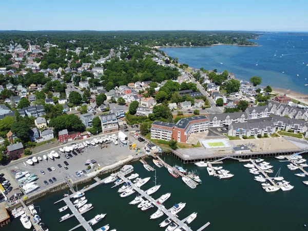
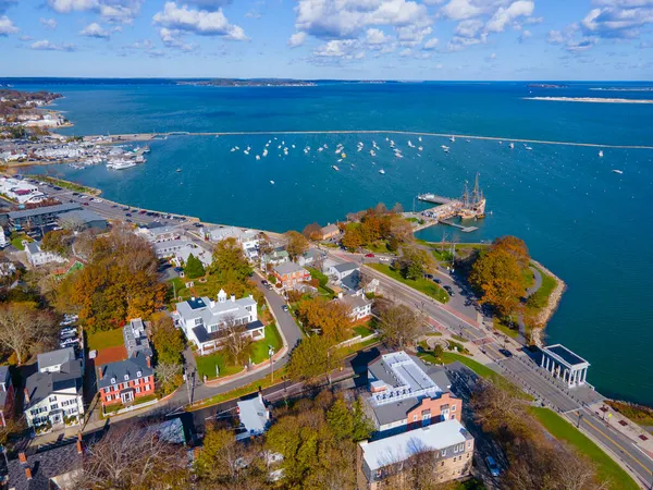
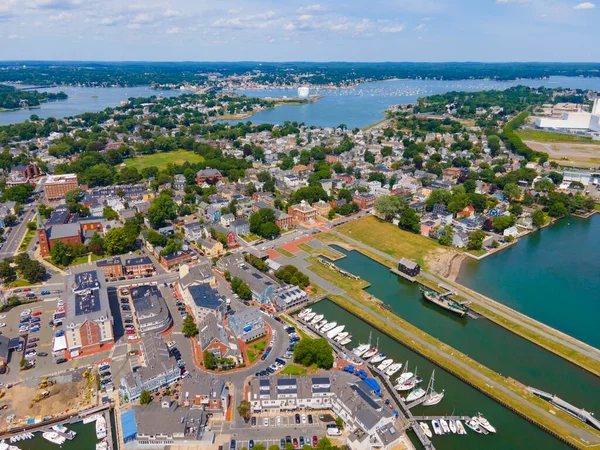
Stock image Aerial view of Sandy Point at Danvers River mouth to Salem Harbor in city of Beverly, Massachusetts MA, USA.
Published:
Feb.04, 2021 07:18:37
Author:
jiawangkun
Views:
3
Downloads:
0
File type:
image
/
jpg
File size:
8.05 MB
Orginal size:
4000
x
2998
px
Available sizes:
S
(500 x 375)
M
(1000 x 750)
L
(2000 x 1499)
XL
(4000 x 2998)
EL0
(4000 x 2998)
Level:
bronze
Download Image
Image topics:
View
Travel
Scene
Nature
Water
Natural
Sea
Wave
River
Landscape
Architecture
Building
City
House
American
Usa
Bay
Beach
Coast
Coastline
Ocean
Shore
Tourism
Landmark
Town
Harbor
Point
Nautical
Historic
History
Tourist
Seashore
Sandy
Historical
Tour
America
Atlantic
Aerial
United
Cape
States
Shoreline
Massachusetts
Ma
Seafront
Oceanfront
Drone
Beverly
Salem
Danvers
Similar stock images
Aerial View Of Sandy Point At Danvers River Mouth To Salem Harbor In City Of Beverly, Massachusetts MA, USA.
4000 × 3000
Plymouth Bay And Plymouth Village Historic District Aerial View, Including Antique Ship Mayflower, In Town Center Of Plymouth, Massachusetts MA, USA.
4000 × 2999
Aerial View Of Sandy Point At Danvers River Mouth To Salem Harbor In City Of Beverly, Massachusetts MA, USA.
4000 × 3000
Aerial View Of Custom House In Salem Maritime National Historic Site In City Of Salem, Massachusetts MA, USA.
8000 × 6000
Aerial View Of Sandy Point At Danvers River Mouth To Salem Harbor In City Of Beverly, Massachusetts MA, USA.
4000 × 3000
Aerial View Of Beverly Port Marina At Sandy Point In City Of Beverly, Massachusetts MA, USA.
4000 × 3000
Danvers River Mouth To Salem Harbor In City Of Beverly, Massachusetts MA, USA.
4000 × 3000
Pepperrell Cove On Piscataqua River At Portsmouth Harbor In Kittery Point, Town Of Kittery, Maine ME, USA.
4000 × 3000