Home
Images
Vectors
Videos
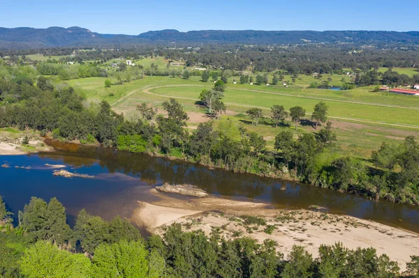
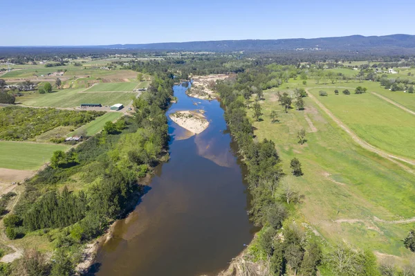
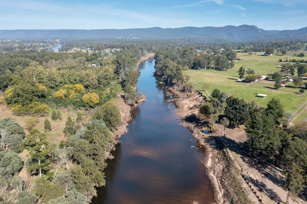
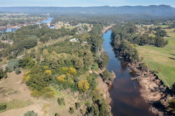
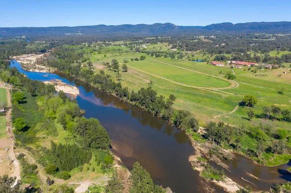
Stock image Aerial view of the Hawkesbury River running through agricultural farmland in regional New South Wales in Australia
Published:
Nov.04, 2020 20:07:07
Author:
WittkePhotos
Views:
15
Downloads:
5
File type:
image
/
jpg
File size:
11.43 MB
Orginal size:
5375
x
3581
px
Available sizes:
S
(500 x 333)
M
(1000 x 666)
L
(2000 x 1332)
XL
(5375 x 3581)
EL0
(5375 x 3581)
Level:
beginner
Download Image
Image topics:
Green
Blue
Grass
Meadow
Outdoors
Field
Nature
Environment
Water
Flying
Flora
Brown
River
Landscape
Trees
Farm
Agriculture
Forest
Shore
Farming
Sand
Bush
Farmland
Outside
Land
Pasture
Riverbank
Australia
Aerial
Paddock
Shoreline
Creek
Drone
Bushland
Hawkesbury
Uav
New South Wales
Agnes Banks
Hawkesbury River
Similar stock images
Aerial View Of The Hawkesbury River Running Through Agricultural Farmland In Regional New South Wales In Australia
4896 × 3262
Aerial View Of The Hawkesbury River Running Through Agricultural Farmland In Regional New South Wales In Australia
5423 × 3613
Drone Aerial Photograph Of The Grose River After Severe Flooding In Yarramundi Reserve In The Hawkesbury Region Of New South Wales In Australia
5336 × 3555
Aerial View Of The Hawkesbury River Running Through Agricultural Farmland In Regional New South Wales In Australia
5387 × 3589
Drone Aerial Photograph Of The Grose River After Severe Flooding In Yarramundi Reserve In The Hawkesbury Region Of New South Wales In Australia
5417 × 3609
Aerial View Of The Hawkesbury River Running Through Agricultural Farmland In Regional New South Wales In Australia
5447 × 3629
Drone Aerial Photograph Of The Nepean River And Road After Severe Flooding In Yarramundi Reserve In The Hawkesbury Region Of New South Wales In Australia
5410 × 3604
Drone Aerial Photograph Of The Grose River After Severe Flooding In Yarramundi Reserve In The Hawkesbury Region Of New South Wales In Australia
5206 × 3468