
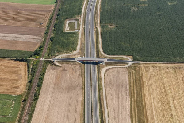
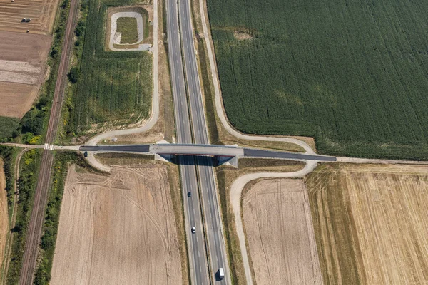
Stock image aerial view of the road near Nysa town
Published: Sep.22, 2017 14:14:05
Author: yeti88
Views: 5
Downloads: 0
File type: image / jpg
File size: 28.14 MB
Orginal size: 7245 x 4830 px
Available sizes:
Level: silver
Similar stock images
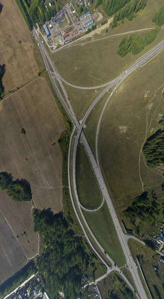
Aerial City View With Crossroads, Roads, Houses, Buildings, Parks, Parking Lots, Bridges
2637 × 4800

Aerial City View With Crossroads, Roads, Houses, Buildings, Parks, Parking Lots, Bridges
2637 × 4800
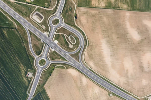
Aerial Road Interchange, Viaduct. Crossroads View Parking Lots, Bridges. Copter Shot. Panoramic Image.
2257 × 2257

