Home
Images
Vectors
Videos
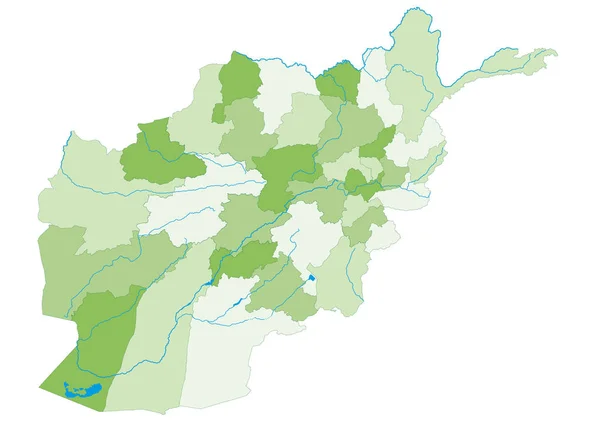
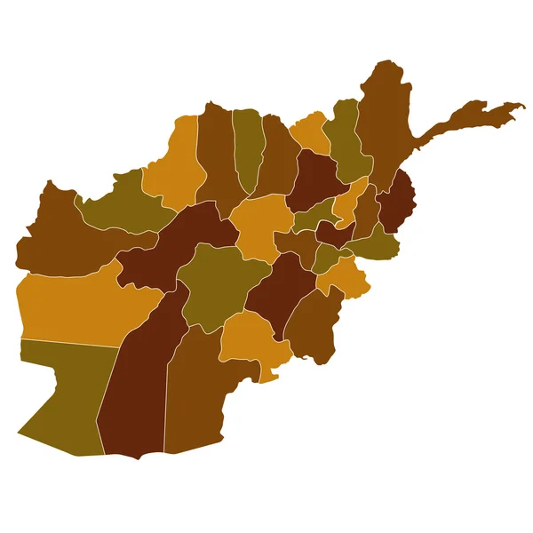
Stock image Afghanistan population heat map as color density illustration
Published:
Dec.01, 2020 20:26:59
Author:
ingomenhard
Views:
3
Downloads:
0
File type:
image
/
jpg
File size:
4.74 MB
Orginal size:
7850
x
6111
px
Available sizes:
S
(500 x 389)
M
(1000 x 778)
L
(2000 x 1557)
XL
(7850 x 6111)
EL0
(7850 x 6111)
Level:
bronze
Download Image
Image topics:
Colorful
Graphic
Illustration
Design
Shape
New
Travel
People
Silhouette
Modern
Symbol
Concept
Flat
Heat
Contour
Simple
Science
Country
District
Map
Cartography
Geography
Area
National
Living
Trip
State
Borders
Administrative
Department
States
Division
Population
Territory
Province
Nation
Density
Regional
Afghanistan
Regions
Counties
Departments
Conurbation
Living Area
Heat Map
Color Level
Similar stock images
Large And Detailed Map Of The State Of Afghanistan.
5000 × 3530
Afghanistan - Highly Detailed Editable Political Map.
4001 × 2949
Afghanistan
4520 × 4520
Highly Detailed Editable Political Map With Separated Layers. Afghanistan.
4001 × 2949
Hungary Population Heat Map As Color Density Illustration
8500 × 5518
Burkina Faso Population Heat Map As Color Density Illustration
5500 × 4159
Colombia Population Heat Map As Color Density Illustration
6500 × 8655
Map Of Afghanistan
4520 × 4520