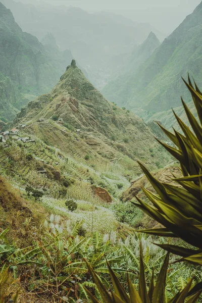
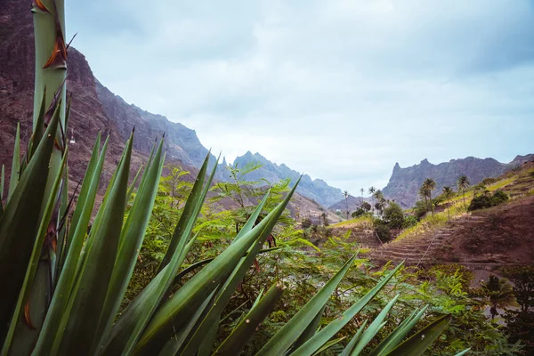
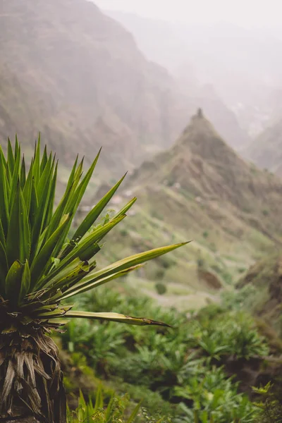
Stock image Agave plants in front of lombo de pico rock in Xo-xo valley. Trekking path number 202 over Rabo Curto to Ribeira da torre. Santo Antao island, Cape Verde
Published: Mar.12, 2018 08:01:31
Author: igor_tichonow
Views: 30
Downloads: 0
File type: image / jpg
File size: 13.02 MB
Orginal size: 4000 x 6000 px
Available sizes:
Level: bronze
Similar stock images


Close Up Of Agava Plants And Rocky Mountains In Background In Xo-xo Valley In Santo Antao Island, Cape Verde
4000 × 6000