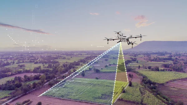
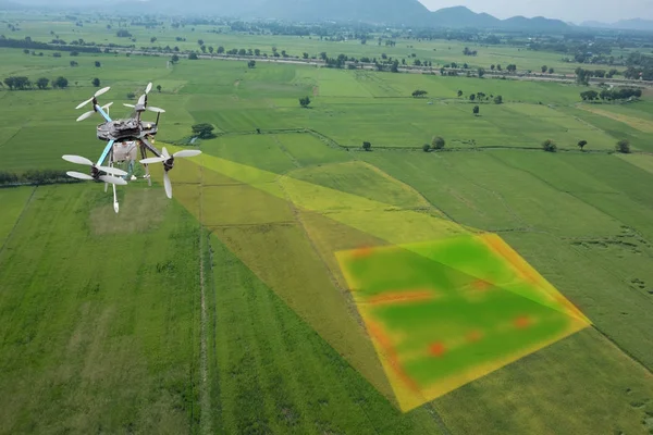
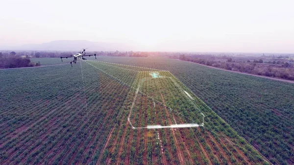
Stock image Agriculture drone scanning working area, smart farmer and agriculture technology for scaling and mapping farm, 3D illustrations rendering
Published: Sep.10, 2021 11:16:46
Author: Tridsanu
Views: 24
Downloads: 8
File type: image / jpg
File size: 5.48 MB
Orginal size: 3840 x 2160 px
Available sizes:
Level: bronze