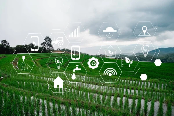
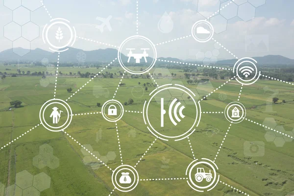
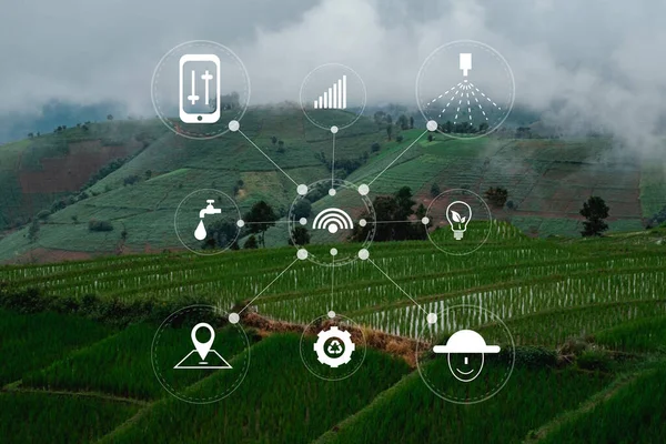
Stock image agriculture technology concept man Agronomist Using a Tablet Internet of things report
Published: Aug.28, 2020 06:33:45
Author: duiwoy
Views: 78
Downloads: 3
File type: image / jpg
File size: 6.02 MB
Orginal size: 6000 x 4000 px
Available sizes:
Level: silver