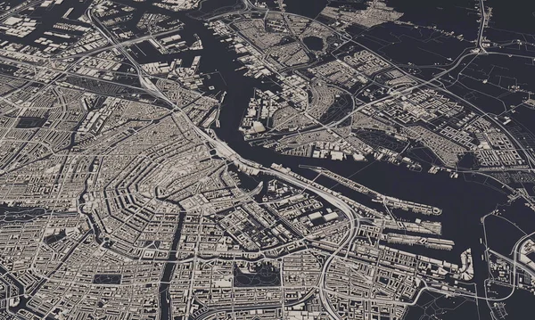
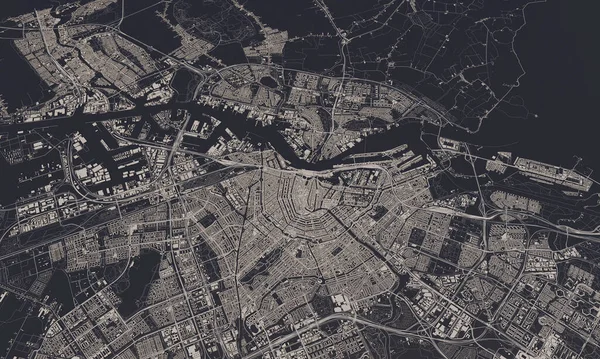
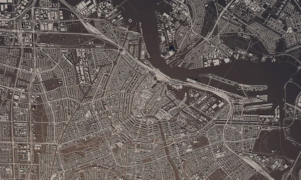
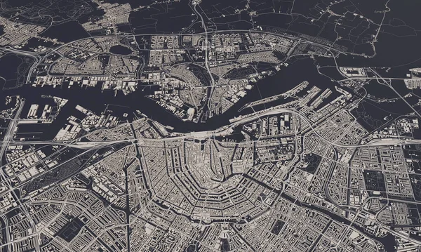
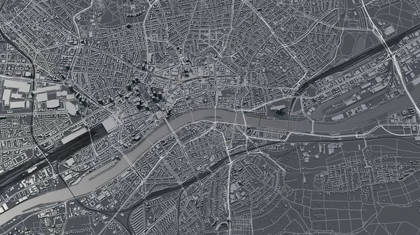
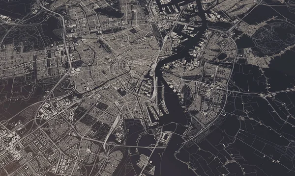
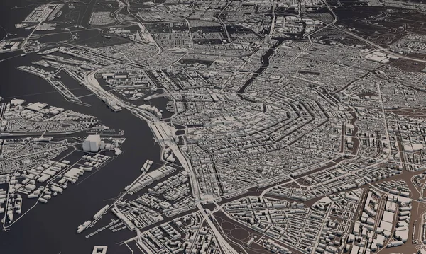
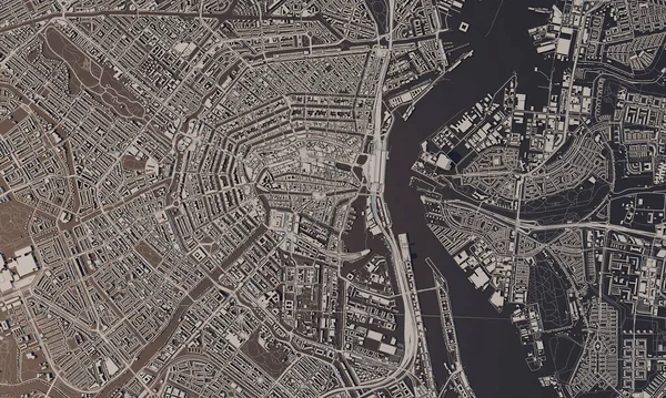
Stock image Amsterdam, Netherlands city map 3D Rendering. Aerial satellite view.
Published: Apr.07, 2020 10:03:32
Author: InkDropCreative
Views: 24
Downloads: 1
File type: image / jpg
File size: 12.88 MB
Orginal size: 5000 x 3000 px
Available sizes:
Level: silver