Home
Images
Vectors
Videos
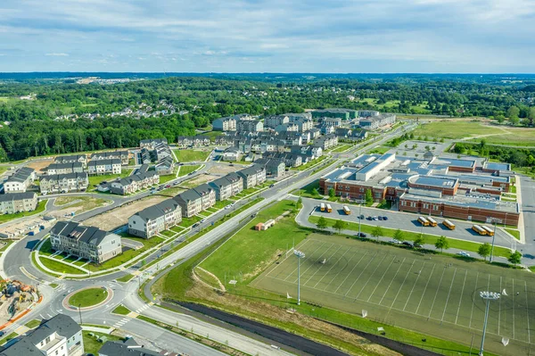
Stock image An aerial view of a residential area of Leesburg in Virginia. Houses, roads, parks and trading floors.
Published:
Nov.04, 2021 08:57:31
Author:
kosoff
Views:
1
Downloads:
0
File type:
image
/
jpg
File size:
14.31 MB
Orginal size:
4500
x
3375
px
Available sizes:
S
(500 x 375)
M
(1000 x 750)
L
(2000 x 1500)
XL
(4500 x 3375)
EL0
(4500 x 3375)
Level:
bronze
Download Image
Image topics:
Green
View
Photography
Travel
Nature
Outdoor
Tree
Car
Road
Landscape
Village
Architecture
Building
City
House
Urban
Home
Roof
Development
Street
Down
Usa
Property
Highway
Suburban
Panorama
Cityscape
Town
Europe
Top
Country
District
Area
Apartment
Residential
Above
America
Suburb
Community
Aerial
Vale
Virginia
Neighborhood
Neighbourhood
Drone
City Life
Aerial View
Residential Area
Birds Eye View
Leesburg
Similar stock images
An Aerial View Of A Residential Area Of Leesburg In Virginia. Houses, Roads, Parks And Trading Floors.
5000 × 3750
Aerial View Of A Cluster Of Houses In A Small Town In The State Of Virginia USA Shot By A Drone
5500 × 4125
Aerial View Of A New Residential Area. Panoramic Image
6000 × 4500
Low-rise Residential Neighborhoods In Virginia. View From Above. Residential Single-family Houses With Parking Lots And Parks. Autumn Landscape.
5500 × 4125
Aerial View Of A Residential Area With A Swimming Pool In The Morning. Suburb Of Ashburn, Virginia.
7000 × 5250
Aerial View Of New Middle Class Residential Community With Multifamily Unit Apartments, Condos With Balconies, Duplexes, Town Homes And Single Family Homes Neighborhood Maryland USA
5444 × 3627
An Aerial View Of The Twin Cities Suburb Of Brooklyn Park In Minnesota
4961 × 3306
West Concord Village Center Aerial View On Commonwealth Avenue And Railroad In Fall In Town Of Concord, Massachusetts MA, USA.
5280 × 3956