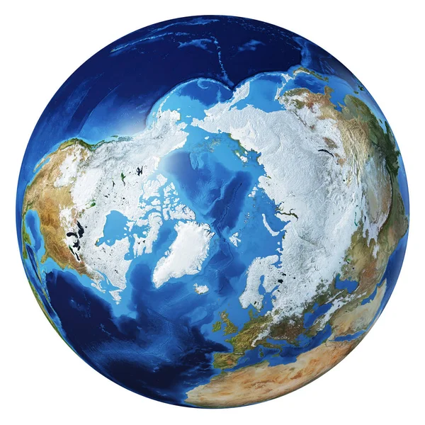
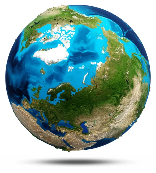
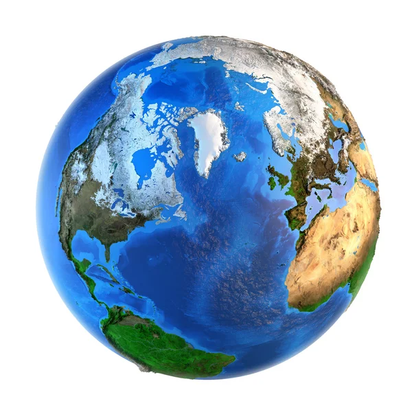
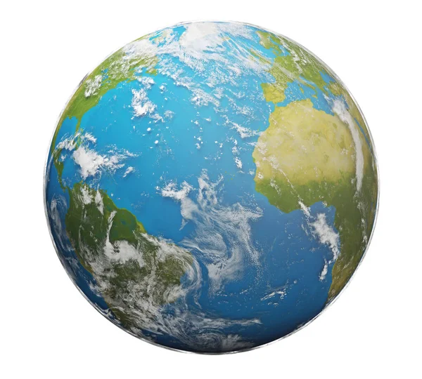
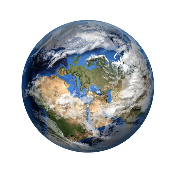
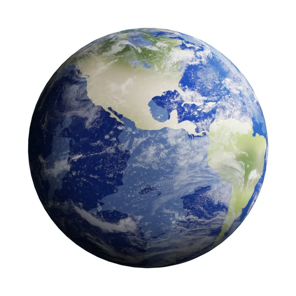
Stock image Arctic region viewed from a satellite. Physical map of North Pole in winter, february. 3D illustration of planet Earth isolated on white, with high bump effect - Elements of this image furnished by NASA.

Published: Mar.16, 2020 17:27:17
Author: titoOnz
Views: 249
Downloads: 5
File type: image / jpg
File size: 10.19 MB
Orginal size: 7000 x 7000 px
Available sizes:
Level: silver