Home
Images
Vectors
Videos
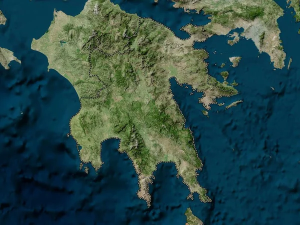
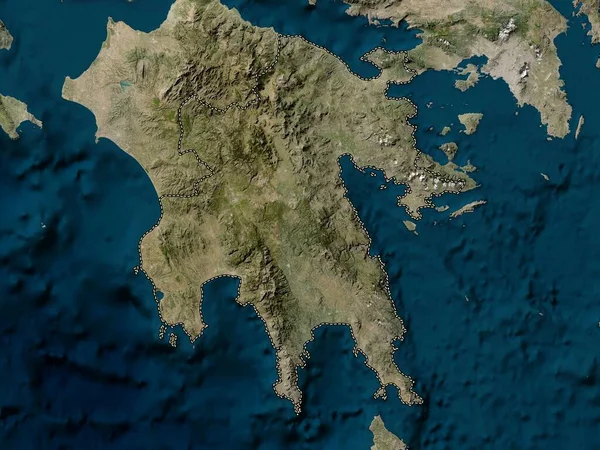
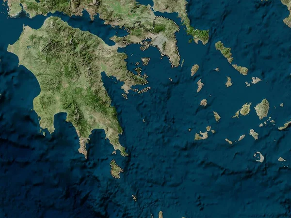
Stock image Attica, decentralized administration of Greece. Low resolution satellite map
Published:
Oct.04, 2022 11:16:38
Author:
Yarr65
Views:
3
Downloads:
0
File type:
image
/
jpg
File size:
5.97 MB
Orginal size:
3840
x
2880
px
Available sizes:
S
(500 x 375)
M
(1000 x 750)
L
(2000 x 1500)
XL
(3840 x 2880)
EL0
(3840 x 2880)
Level:
bronze
Download Image
Image topics:
Shape
Nature
Border
Contour
Earth
Planet
World
Ocean
Science
Capital
Europe
Outline
Country
Map
Geography
Continent
Land
Zoom
Athens
Greece
Region
Territory
Atlas
Legend
Attica
Stereographic
Mesopotamia
Kastoria
Ptolemaida
GRC
Florina
Servia
Velventos
Amyntaio
Grevena
Siatista
Administrative Division
Decentralized Administration
Argos Orestiko
Filotas
Tsotili
Livadero
Deskati
Similar stock images
Attica, Decentralized Administration Of Greece. High Resolution Satellite Map
3840 × 2880
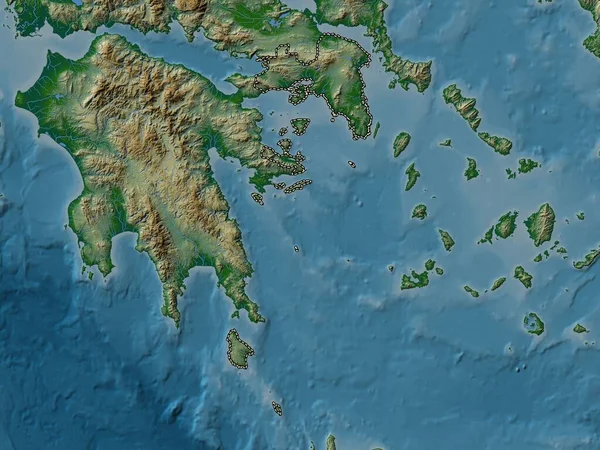
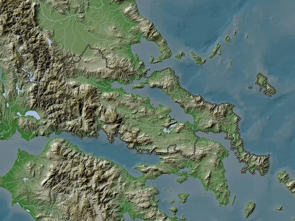
Attica, Decentralized Administration Of Greece. Colored Elevation Map With Lakes And Rivers
3840 × 2880
Central Greece, Decentralized Administration Of Greece. Low Resolution Satellite Map
3840 × 2880
Peloponnese, Decentralized Administration Of Greece. High Resolution Satellite Map
3840 × 2880
Attica, Decentralized Administration Of Greece. Elevation Map Colored In Wiki Style With Lakes And Rivers
3840 × 2880
Peloponnese, Decentralized Administration Of Greece. Low Resolution Satellite Map
3840 × 2880
Sulawesi Tenggara, Province Of Indonesia. Low Resolution Satellite Map
3840 × 2880
Central Greece, Decentralized Administration Of Greece. Elevation Map Colored In Wiki Style With Lakes And Rivers
3840 × 2880