Home
Images
Vectors
Videos
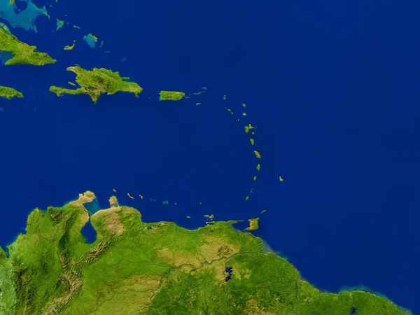
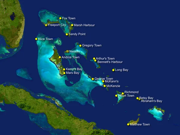
Stock image Bahamas map
Published:
Jul.24, 2012 10:56:11
Author:
vladislavgajic
Views:
3730
Downloads:
38
File type:
image
/
jpg
File size:
4.33 MB
Orginal size:
4000
x
3000
px
Available sizes:
S
(500 x 375)
M
(1000 x 750)
L
(2000 x 1500)
XL
(4000 x 3000)
EL0
(4000 x 3000)
Level:
bronze
Download Image
Image topics:
Holiday
Sea
Border
City
World
Beach
Tourism
Relief
Town
Vacation
Outline
Country
District
West
Map
Geography
Tourist
Middle
Place
Island
Of
Geographic
Islands
Caribbean
Territory
Atlas
Peninsula
Province
Florida
Cuba
Geographical
Bahamas
Bahama
Nassau
Antilles
Richmond
Freeport
Similar stock images
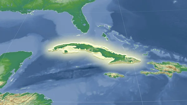
Cuba And Its Neighborhood. Distant Oblique Perspective - Shape Glowed. Satellite Imagery
2880 × 1620
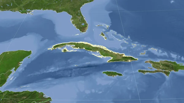
Cuba And Its Neighborhood. Distant Oblique Perspective - Shape Outlined. Satellite Imagery
2880 × 1620
North Caribbean On Planet Earth
5000 × 3750
Florida, State Of United States Of America. Low Resolution Satellite Map
3840 × 2880
Jamaica In The Morning Highlighted In Red On Planet Earth With Visible Border Lines And City Lights. 3D Illustration. Elements Of This Image Furnished By NASA.
5000 × 3750
Satellite View Of Cuba Island From Space. Elements Of This Image Furnished By NASA.
4800 × 3400
Cuba And Its Neighborhood. Distant Oblique Perspective - Shape Glowed. Color Physical Map
2880 × 1620
Caribbean From Space In Red
5000 × 3750