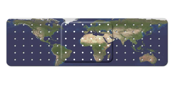
Stock image Bandage with Earth Map
Published: Dec.03, 2018 07:29:22
Author: rolffimages
Views: 16
Downloads: 1
File type: image / jpg
File size: 1.9 MB
Orginal size: 4074 x 2000 px
Available sizes:
Level: silver