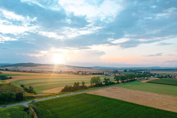
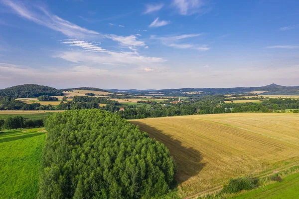
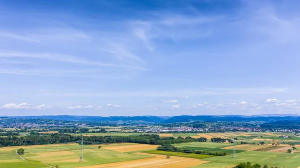
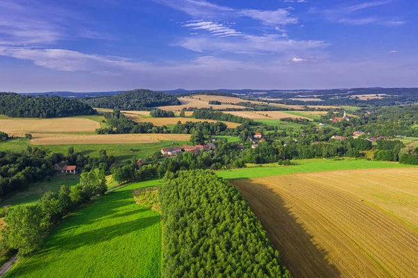
Stock image Bobolice, aerial view of polish village, Lower Silesian landscape. Drone view of beautiful, countryside landscape.

Published: Jun.23, 2023 19:32:18
Author: geo-grafika
Views: 0
Downloads: 0
File type: image / jpg
File size: 10.02 MB
Orginal size: 5464 x 3347 px
Available sizes:
Level: bronze