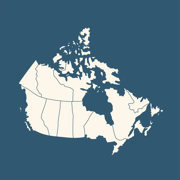
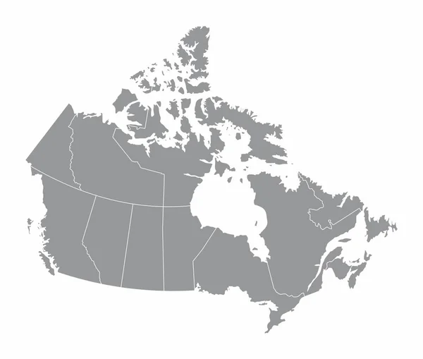
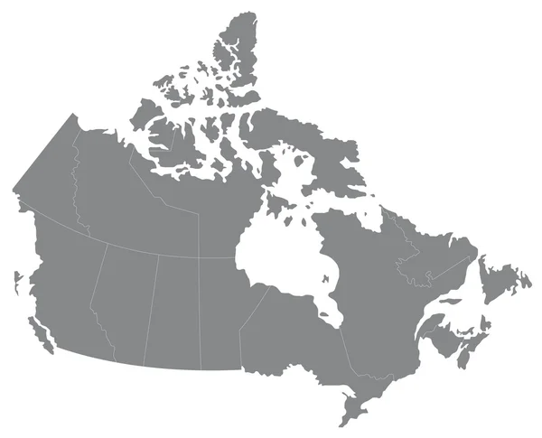
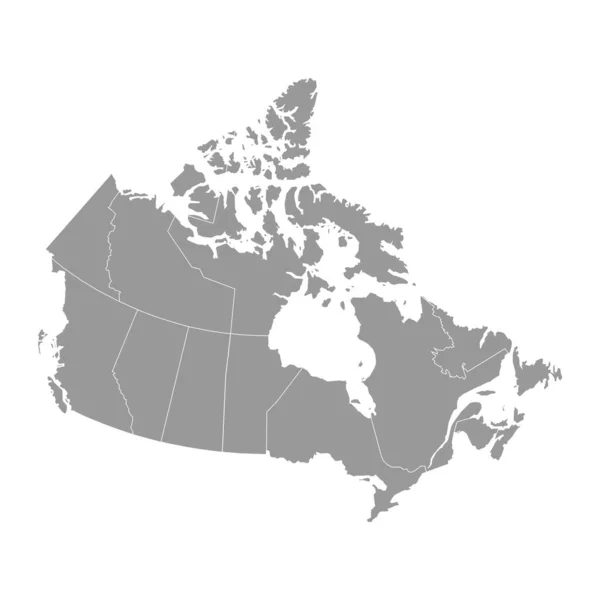
Stock image Canada country political map. Detailed illustration with isolated states, islands and cities easy to ungroup.

Published: Dec.02, 2021 12:18:45
Author: Flamestar
Views: 0
Downloads: 0
File type: image / jpg
File size: 0.47 MB
Orginal size: 4801 x 4800 px
Available sizes:
Level: bronze