photo free
Home Images Vectors Videos

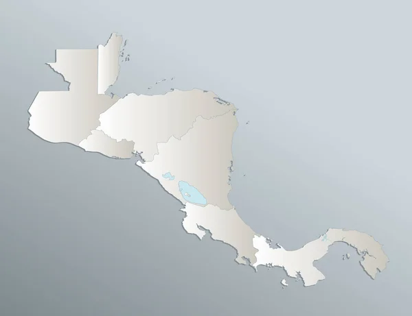
Stock image Central America map, administrative division, separates regions, card paper 3D natural, blank
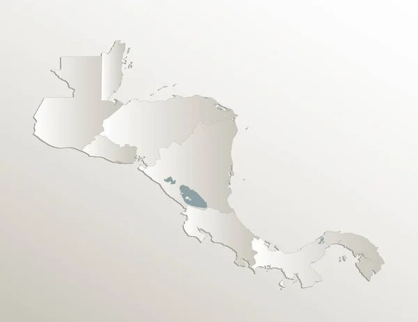
Stock image Central America map, administrative division, separates regions, card paper 3D natural, blank
Published: Apr.04, 2022 10:37:21
Author: Mondi.h
Views: 4
Downloads: 0
File type: image / jpg
File size: 0.96 MB
Orginal size: 5194 x 4000 px
Available sizes:
S
(500 x 385)
M
(1000 x 770)
L
(2000 x 1540)
XL
(5194 x 4000)
EL0
(5194 x 4000)
Level: bronze
Download Image
Image topics:

Similar stock images

stock image Central America map, separates states, blue white card paper 3D, blank

Central America Map, Separates States, Blue White Card Paper 3D, Blank

5198 × 4000
stock image Black map of Central America of regions, design blackboard, blank

Black Map Of Central America Of Regions, Design Blackboard, Blank

5659 × 4000
stock vector Flat Brown Map of Central America on White Background without National Country Borders

Flat Brown Map Of Central America On White Background Without National Country Borders

3200 × 2400
stock image Caribbean islands Central America map, state names, separate states, card blue white 3D raster blank

Caribbean Islands Central America Map, State Names, Separate States, Card Blue White 3D Raster Blank

5011 × 3300
stock image Map of Baja California. Mexico.

Map Of Baja California. Mexico.

5600 × 4200
stock image Central America and Caribbean Islands map, Infographics flat design colors snow white, blank

Central America And Caribbean Islands Map, Infographics Flat Design Colors Snow White, Blank

5779 × 3800
stock vector 3d map of Sinaloa is a state of Mexico, vector illustration

3d Map Of Sinaloa Is A State Of Mexico, Vector Illustration

4000 × 4000
stock vector Northern Mexico region location within Mexico 3d isometric map

Northern Mexico Region Location Within Mexico 3d Isometric Map

4000 × 4000