Home
Images
Vectors
Videos
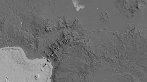
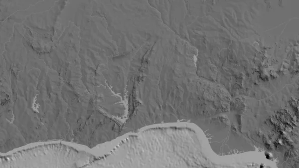
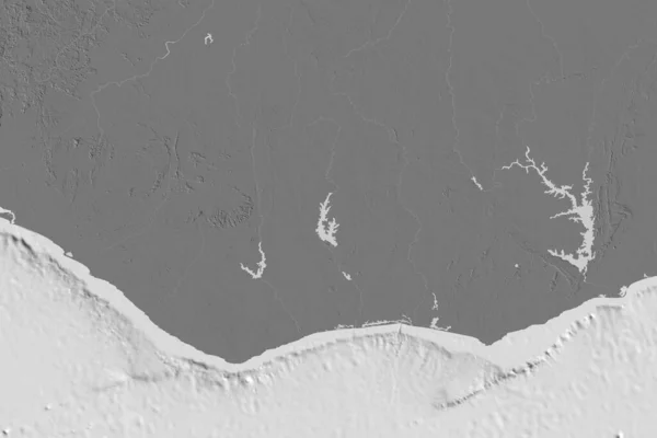
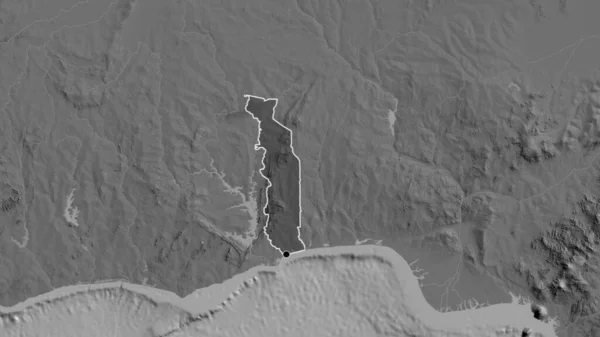
Stock image Close-up of abilevel map centered on Togo
Published:
Jul.13, 2023 14:39:16
Author:
zelwanka
Views:
1
Downloads:
1
File type:
image
/
jpg
File size:
2.85 MB
Orginal size:
3840
x
2160
px
Available sizes:
S
(500 x 281)
M
(1000 x 563)
L
(2000 x 1125)
XL
(3840 x 2160)
EL0
(3840 x 2160)
Level:
beginner
Download Image
Image topics:
Sphere
Background
View
Shape
Travel
Nature
Environment
Sea
Border
Global
Earth
Planet
World
Ocean
Science
Capital
Globe
Elevation
Country
Map
Cartography
Geography
Africa
Continent
Land
Zoom
Edges
Administrative
Region
Territory
Atlas
Ghana
Togo
Benin
Loma
Burkina Faso
Bilevel
Tgo
Similar stock images
Extended Area Of Cote D'Ivoire. Bilevel Elevation Map. 3D Rendering
3000 × 2000
Close-up Of The Togo Border Area Highlighting With A Dark Overlay On A Bilevel Map. Capital Point. Outline Around The Country Shape.
3840 × 2160
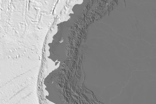
Shape Of Colombia Separated By The Desaturation Of Neighboring Areas. Bilevel Elevation Map. 3D Rendering
3000 × 2000
Extended Area Of Ecuador. Bilevel Elevation Map. 3D Rendering
3000 × 2000
Kaesong, Special Administrative Region Of North Korea. Bilevel Elevation Map With Lakes And Rivers
3840 × 2880
Extended Area Of Lesotho. Bilevel Elevation Map. 3D Rendering
3000 × 2000
Extended Area Of Cameroon. Bilevel Elevation Map. 3D Rendering
3000 × 2000
Close-up Of Abilevel Map Centered On Cameroun
3840 × 2160