Home
Images
Vectors
Videos
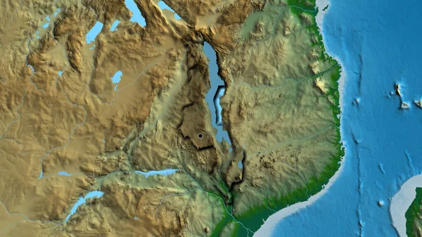
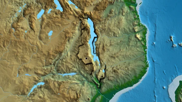
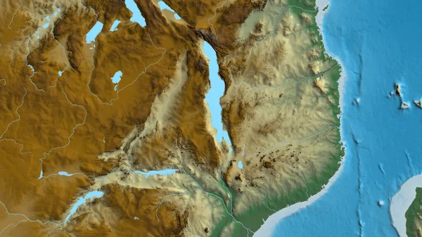
Stock image Close-up of arelief map centered on Malawi
Published:
Jul.13, 2023 12:31:47
Author:
zelwanka
Views:
0
Downloads:
0
File type:
image
/
jpg
File size:
6.5 MB
Orginal size:
3840
x
2160
px
Available sizes:
S
(500 x 281)
M
(1000 x 563)
L
(2000 x 1125)
XL
(3840 x 2160)
EL0
(3840 x 2160)
Level:
beginner
Download Image
Image topics:
Sphere
Background
View
Shape
Travel
Nature
Environment
Sea
Border
Global
Earth
Planet
World
Ocean
Science
Relief
Capital
Globe
Elevation
Country
Map
Cartography
Geography
Africa
Continent
Land
Zoom
Edges
Administrative
Region
Territory
Malawi
Atlas
Tanzania
Mozambique
Zambia
Lilongwe
Mwi
Similar stock images
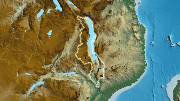
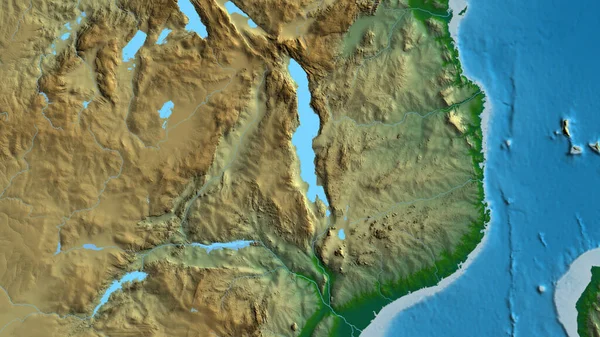
Close-up Of The Malawi Border Area On A Relief Map. Capital Point. Glow Around The Country Shape.
3840 × 2160
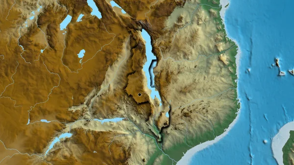
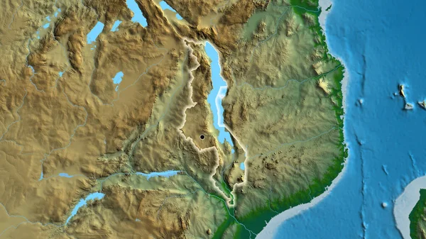
Close-up Of The Malawi Border Area On A Relief Map. Capital Point. Bevelled Edges Of The Country Shape.
3840 × 2160
Close-up Of The Malawi Border Area Highlighting With A Dark Overlay On A Physical Map. Capital Point. Bevelled Edges Of The Country Shape.
3840 × 2160
Close-up Of The Malawi Border Area Highlighting With A Dark Overlay On A Relief Map. Capital Point. Bevelled Edges Of The Country Shape.
3840 × 2160
Close-up Of The Malawi Border Area Highlighting With A Dark Overlay On A Relief Map. Capital Point. Glow Around The Country Shape.
3840 × 2160
Close-up Of Aphysical Map Centered On Malawi
3840 × 2160
Close-up Of The Malawi Border Area On A Physical Map. Capital Point. Bevelled Edges Of The Country Shape.
3840 × 2160
Close-up Of The Malawi Border Area On A Physical Map. Capital Point. Glow Around The Country Shape.
3840 × 2160