photo free
Home Images Vectors Videos

Stock image Close-up of asatellite map centered on Angola

Stock image Close-up of asatellite map centered on Angola
Published: Jul.11, 2023 09:36:00
Author: zelwanka
Views: 0
Downloads: 0
File type: image / jpg
File size: 6.31 MB
Orginal size: 3840 x 2160 px
Available sizes:
S
(500 x 281)
M
(1000 x 563)
L
(2000 x 1125)
XL
(3840 x 2160)
EL0
(3840 x 2160)
Level: beginner
Download Image
Image topics:

Similar stock images

stock image Close-up of asatellite map centered on Angola

Close-up Of Asatellite Map Centered On Angola

3840 × 2160
stock image Close-up of asatellite map centered on Angola

Close-up Of Asatellite Map Centered On Angola

3840 × 2160
stock image Araucania, region of Chile. Satellite imagery. Shape outlined against its country area. 3D rendering

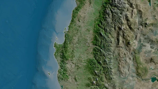
Araucania, Region Of Chile. Satellite Imagery. Shape Outlined Against Its Country Area. 3D Rendering

2880 × 1620
stock image Portugal area on the satellite C map in the stereographic projection - raw composition of raster layers

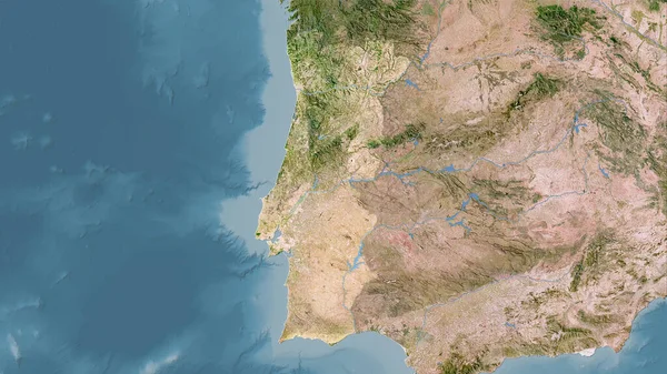
Portugal Area On The Satellite C Map In The Stereographic Projection - Raw Composition Of Raster Layers

2880 × 1620
stock image Bolivia area on the satellite D map in the stereographic projection - raw composition of raster layers

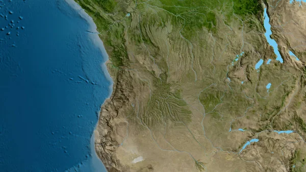
Bolivia Area On The Satellite D Map In The Stereographic Projection - Raw Composition Of Raster Layers

2880 × 1620
stock image Close-up of the Angola border area on a satellite map. Capital point. Glow around the country shape.

Close-up Of The Angola Border Area On A Satellite Map. Capital Point. Glow Around The Country Shape.

3840 × 2160
stock image Bio-Bio, region of Chile. Satellite imagery. Shape outlined against its country area. 3D rendering

Bio-Bio, Region Of Chile. Satellite Imagery. Shape Outlined Against Its Country Area. 3D Rendering

2880 × 1620
stock image Close-up of asatellite map centered on Angola

Close-up Of Asatellite Map Centered On Angola

3840 × 2160